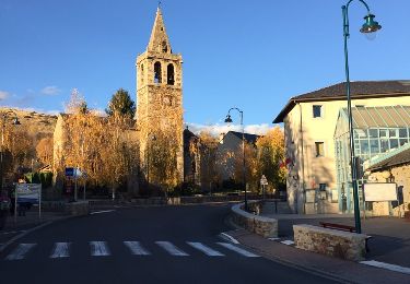
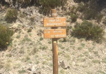
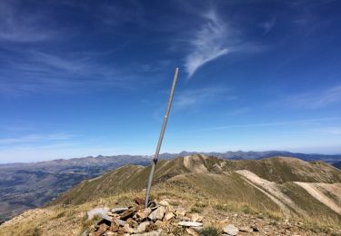
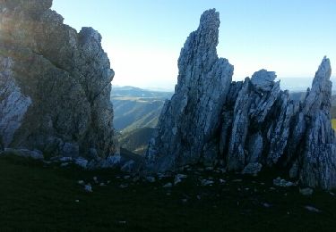
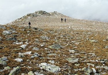
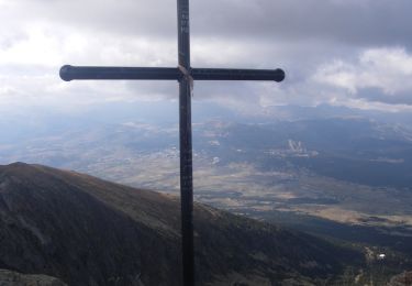
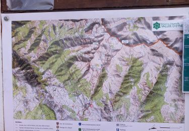
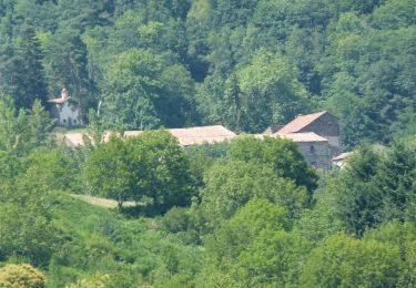
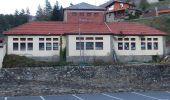
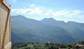
Trail On foot Ribes de Freser - Ribes de Freser-El Baell-Campelles - Photo

Ribes de Freser-El Baell-Campelles

Tous les sentiers balisés d’Europe GUIDE+

© OpenStreetMap contributors
Length
Length
14.8 km
Max alt
Max alt
1313 m
Uphill gradient
Uphill gradient
735 m
Km-Effort
Km-Effort  
25 km
Min alt
Min alt
842 m
Downhill gradient
Downhill gradient
732 m
Boucle
Boucle
Yes
Signpost
Signpost
Creation date :
2022-02-14 15:45:16.121
Updated on :
2022-02-14 15:45:16.121

(0 Reviews)

On foot
On foot
5h35
Difficulty : Medium

Scan this QR Code to open this trail in the SityTrail application

FREE GPS app for hiking

Logo SityTrail SityTrail

IGN / Geographical institutes

Download SityTrail from the App Store Download SityTrail from Google Play

Logo SityTrail SityTrail World
The world is yours!

Download SityTrail from the App Store Download SityTrail from Google Play Download SityTrail on Huawei AppGallery

About

Trail On foot of 14.8 km to be discovered at Catalonia, Girona, Ribes de Freser. This trail is proposed by SityTrail - itinéraires balisés pédestres.

Description

Breu introducció. Ruta circular que passa pels nuclis de El Baell i Campelles i per l´ermita de Sant Antoni, passant per zones boscoses, i altres amb vistes panoràmiques dels cims de Núria i del Taga. Dades tècniques: Durada de la ruta. Aproximadament unes 5-5.15 hores, per a una persona acostumada a caminar, i sense comptar…

Website: https://senderismegirona.org/2019/10/25/ruta-88-ribes-de-freser-a-el-baell-i-campelles/

Elevation profile

Photos

Positioning

Country:
Spain
Region :
Catalonia
Department/Province :
Girona
Municipality :
Ribes de Freser
Location:
Unknown
Start:(UTM)
431372 ; 4684091 (31T) N.

Trails nearby

Trail Walking Ur - de Ur vers La Chapelle de Belloc - Photo
Walking
ThonyM

Walking

Easy
(1)
Ur, Occitania, Pyrénées-Orientales, France
20 km | 28 km-effort
7h 14min
Yes
Trail Walking Nahuja - boucle de Nahuja - Photo
Walking
crijack

Walking

Medium
(1)
Nahuja, Occitania, Pyrénées-Orientales, France
11.8 km | 18.2 km-effort
2h 44min
Yes
Trail Walking Eyne - Eyne,col de Nuria,pic d'Eyne,Torre d'Eyne,Eyne. - Photo
Walking
Machaon6

Walking

Very difficult
(1)
Eyne, Occitania, Pyrénées-Orientales, France
24 km | 43 km-effort
8h 44min
Yes
Trail Walking Prats-de-Mollo-la-Preste - Pic de Costabonne par les Conques_T - Photo
Walking
force

Walking

Medium
(1)
Prats-de-Mollo-la-Preste, Occitania, Pyrénées-Orientales, France
20 km | 36 km-effort
7h 56min
Yes
Trail Walking Py - Roc Colom - Photo
Walking
tracegps

Walking

Difficult
(1)
Py, Occitania, Pyrénées-Orientales, France
19.4 km | 34 km-effort
4h 30min
No
Trail Walking Eyne - Le Cambre d'Ase - Photo
Walking
tracegps

Walking

Difficult
(1)
Eyne, Occitania, Pyrénées-Orientales, France
8.9 km | 22 km-effort
4h 0min
Yes
Trail Walking Eyne - Vallée d'Eyne - Photo
Walking
GUIDE
nadinebondoux

Walking

Medium
Eyne, Occitania, Pyrénées-Orientales, France
10.7 km | 17.6 km-effort
4h 40min
Yes
Trail On foot Campdevànol - itinerari de natura dels Gorgs del Torrent de la Cabana - Photo
On foot
GUIDE+

On foot

Easy
Campdevànol, Catalonia, Girona, Spain
8.1 km | 11.9 km-effort
2h 41min
Yes
Trail On foot Vilallonga de Ter - Vilallonga de Ter-Llanars - Photo
On foot
GUIDE+

On foot

Easy
Vilallonga de Ter, Catalonia, Girona, Spain
8.9 km | 13.3 km-effort
3h 1min
Yes


Close
My subscriptions