


3.4 km | 3.7 km-effort

Tous les sentiers balisés d’Europe PRO


FREE GPS app for hiking
 SityTrail
IGN / Geographical institutes
SityTrail World
The world is yours!
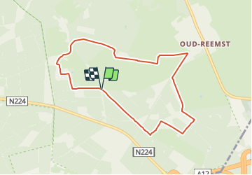
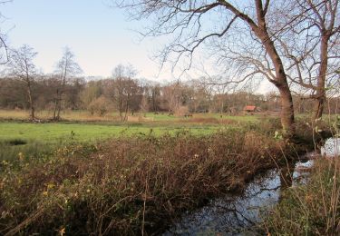
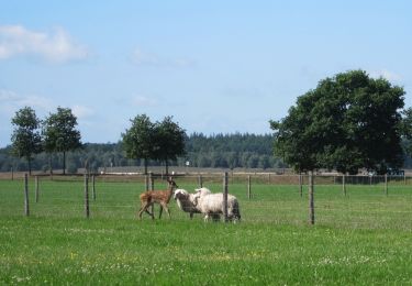
Trail On foot of 7.3 km to be discovered at Gelderland, Unknown, Ede. This trail is proposed by SityTrail - itinéraires balisés pédestres.
Trail created by Natuurmonumenten.
Symbol: Yellow dot painted on stones


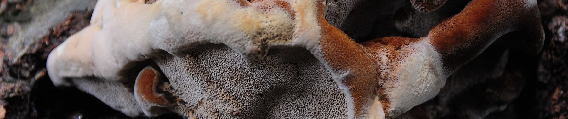
On foot
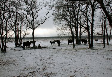
On foot
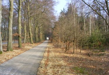
On foot

On foot

On foot


On foot