


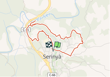

11.3 km | 14.6 km-effort


Tous les sentiers balisés d’Europe GUIDE+


FREE GPS app for hiking
 SityTrail
IGN / Geographical institutes
SityTrail World
The world is yours!
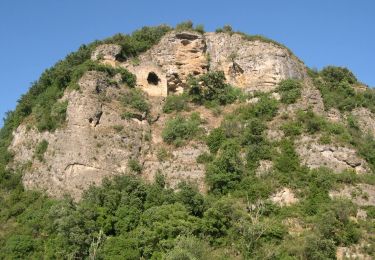
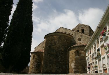
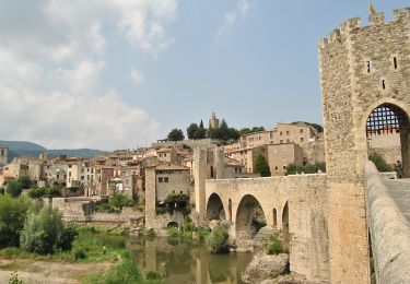
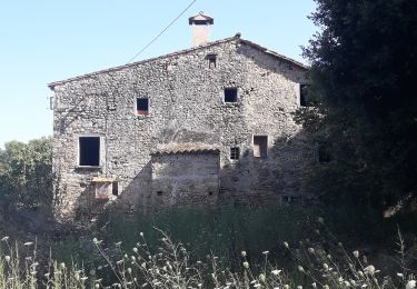
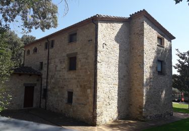
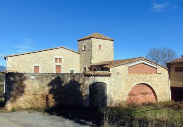
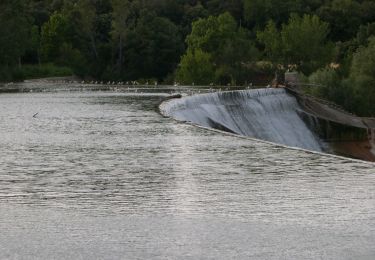
Trail On foot of 4.8 km to be discovered at Catalonia, Girona, Serinyà. This trail is proposed by SityTrail - itinéraires balisés pédestres.
Trail created by Ajuntament de Serinyà.
Website: http://www.visitserinya.cat/articles.php?id=4


On foot
On foot
On foot
On foot
On foot
On foot
On foot