


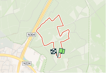

15.6 km | 17.1 km-effort

Tous les sentiers balisés d’Europe GUIDE+


FREE GPS app for hiking
 SityTrail
IGN / Geographical institutes
SityTrail World
The world is yours!
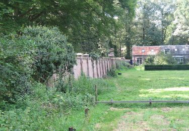
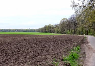
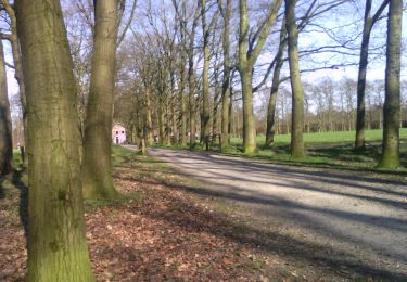
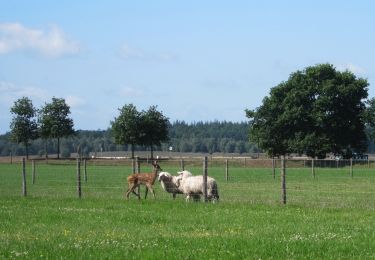
Trail On foot of 3.1 km to be discovered at Gelderland, Unknown, Ede. This trail is proposed by SityTrail - itinéraires balisés pédestres.
Symbol: Green plate with white text "DEMO BOS" and white arrow


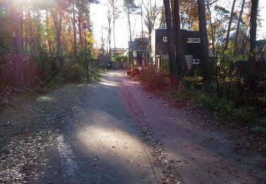
On foot
On foot
On foot
On foot
On foot

On foot

On foot
On foot