


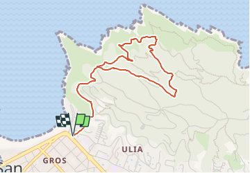

7.4 km | 11.2 km-effort


Tous les sentiers balisés d’Europe GUIDE+


FREE GPS app for hiking
 SityTrail
IGN / Geographical institutes
SityTrail World
The world is yours!
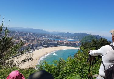
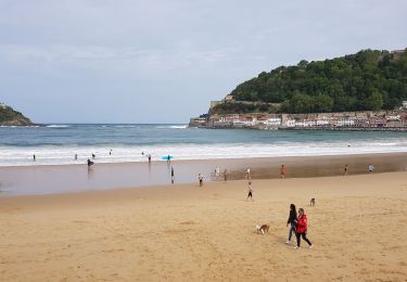
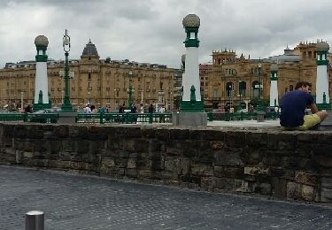
Trail On foot of 4.9 km to be discovered at Autonomous Community of the Basque Country, Gipuzkoa, San Sebastián. This trail is proposed by SityTrail - itinéraires balisés pédestres.
Symbol: white strip on top of green strip


Walking
Walking

Walking
Walking
On foot
Walking
Walking
Other activity

Walking