


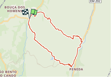

6.8 km | 9.3 km-effort

Tous les sentiers balisés d’Europe GUIDE+


FREE GPS app for hiking
 SityTrail
IGN / Geographical institutes
SityTrail World
The world is yours!
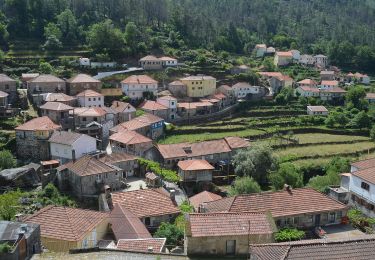
Trail On foot of 9.9 km to be discovered at North, Viana do Castelo, Gavieira. This trail is proposed by SityTrail - itinéraires balisés pédestres.
Symbol: Yellow over Red
Website: http://trilhos.arcosdevaldevez.pt/activities/trilho-da-peneda/


On foot
On foot
On foot

On foot