


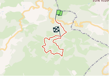

3 km | 3.8 km-effort

Tous les sentiers balisés d’Europe GUIDE+


FREE GPS app for hiking
 SityTrail
IGN / Geographical institutes
SityTrail World
The world is yours!
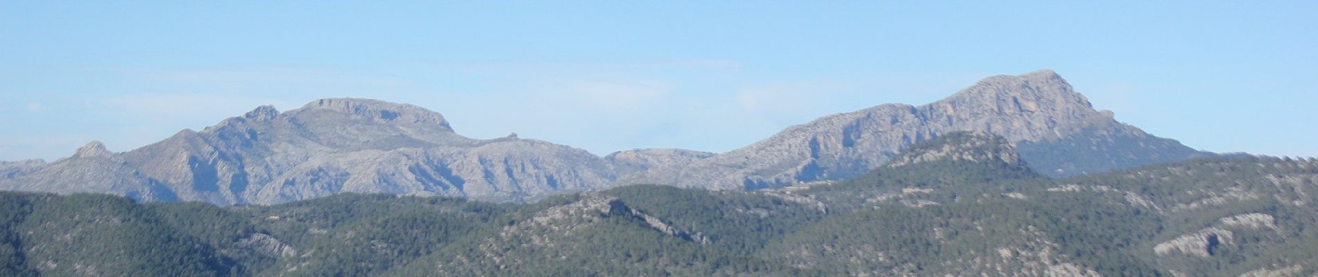
Trail On foot of 5.8 km to be discovered at Balearic Islands, Unknown, Calvià. This trail is proposed by SityTrail - itinéraires balisés pédestres.
This has not official name and no official route. The name:de and ref of route are from the book appear in source:name

On foot

Walking
