

Percurso do Cerro de São Vicente
SityTrail - itinéraires balisés pédestres
Tous les sentiers balisés d’Europe GUIDE+

Length
10.9 km

Max alt
172 m

Uphill gradient
210 m

Km-Effort
13.7 km

Min alt
53 m

Downhill gradient
209 m
Boucle
Yes
Signpost
Creation date :
2022-02-14 14:23:21.042
Updated on :
2022-02-14 14:23:21.042
3h07
Difficulty : Easy

FREE GPS app for hiking
About
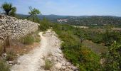
Trail On foot of 10.9 km to be discovered at Algarve, Faro, Paderne. This trail is proposed by SityTrail - itinéraires balisés pédestres.
Description
Trail created by Município de Albufeira.
In case it is not possible to cross Ribeira de Algibre stream use the altenate route PR2.1
Symbol: Yellow over Red
Positioning
Country:
Portugal
Region :
Algarve
Department/Province :
Faro
Municipality :
Paderne
Location:
Unknown
Start:(Dec)
Start:(UTM)
570536 ; 4114659 (29S) N.
Comments
Trails nearby
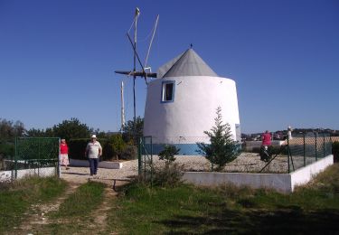
Percurso do Castelo


On foot
Easy
(1)
Paderne,
Algarve,
Faro,
Portugal

10.5 km | 13.6 km-effort
3h 5min
Yes
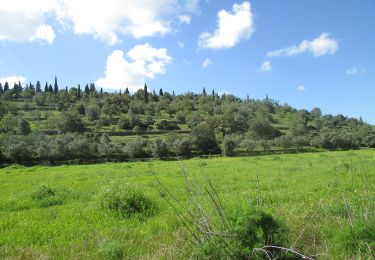
Percurso do Cerro Grande


On foot
Easy
Paderne,
Algarve,
Faro,
Portugal

11.4 km | 14.8 km-effort
3h 22min
Yes
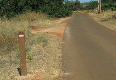
Esteval dos Mouros


On foot
Easy
(1)
Alte,
Algarve,
Faro,
Portugal

8.7 km | 11 km-effort
2h 29min
Yes
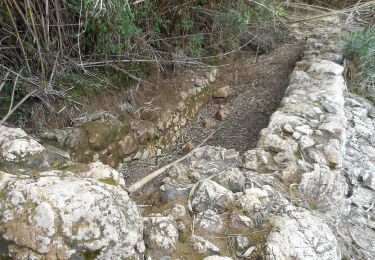
Ribeira de Algibre


On foot
Easy
Paderne,
Algarve,
Faro,
Portugal

8.8 km | 11.2 km-effort
2h 32min
Yes

Footing campagne Algarve


Running
Paderne,
Algarve,
Faro,
Portugal

8.1 km | 9.2 km-effort
1h 10min
Yes

w-portugal-wandeling-nabij-paderne


Walking
Very easy
Paderne,
Algarve,
Faro,
Portugal

6 km | 7.3 km-effort
Unknown
Yes


 SityTrail





sympa