


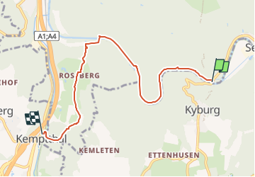

4.9 km | 7.6 km-effort

Tous les sentiers balisés d’Europe GUIDE+


FREE GPS app for hiking
 SityTrail
IGN / Geographical institutes
SityTrail World
The world is yours!
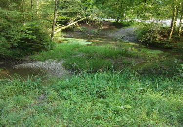
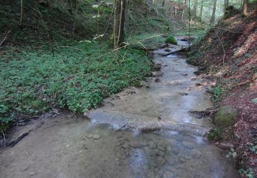
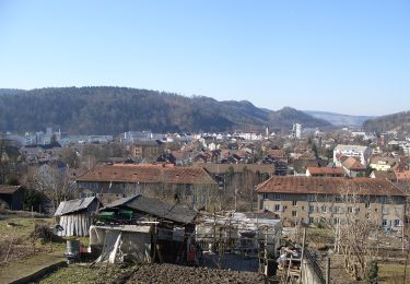
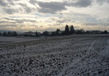
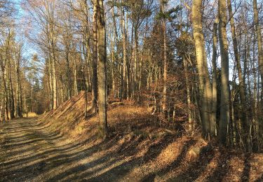
Trail On foot of 6.3 km to be discovered at Zurich, Bezirk Winterthur, Winterthur. This trail is proposed by SityTrail - itinéraires balisés pédestres.
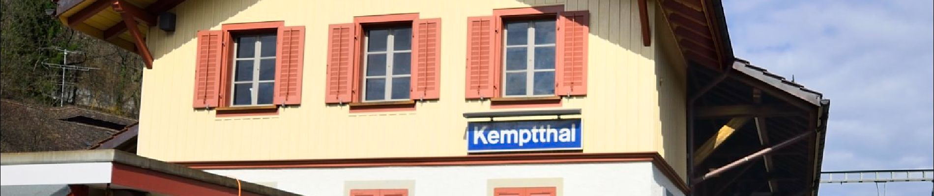
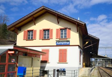
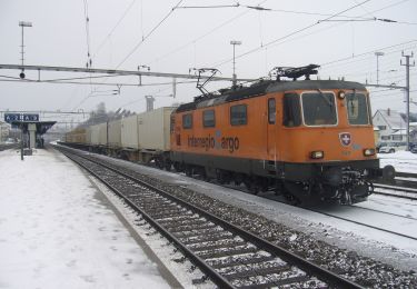
Etappe Leisental: Sennhof Kemptthal
Website: https://www.rundweg.winterthur.ch/index.php?ref=search&refid=3344446&apid=8407894


On foot
On foot
On foot
On foot
On foot
On foot
On foot
On foot
On foot