


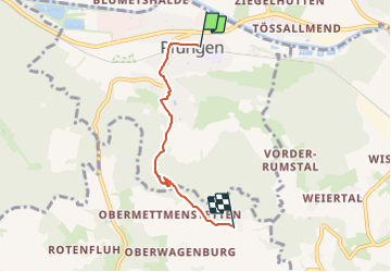

3.6 km | 5.5 km-effort


Tous les sentiers balisés d’Europe GUIDE+


FREE GPS app for hiking
 SityTrail
IGN / Geographical institutes
SityTrail World
The world is yours!
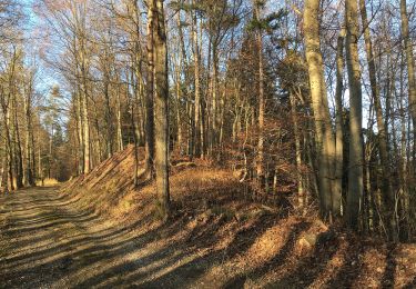
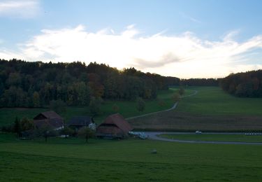
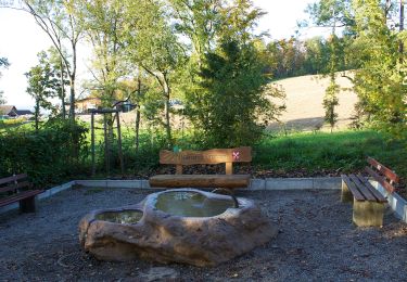
Trail On foot of 3.7 km to be discovered at Zurich, Bezirk Winterthur, Pfungen. This trail is proposed by SityTrail - itinéraires balisés pédestres.
Trail created by Zürcher Wanderwege ZAW.
Symbol: gelbe Raute


On foot

On foot
On foot
On foot
On foot
On foot
On foot

On foot

On foot