


13.1 km | 18.5 km-effort

Tous les sentiers balisés d’Europe GUIDE+


FREE GPS app for hiking
 SityTrail
IGN / Geographical institutes
SityTrail World
The world is yours!
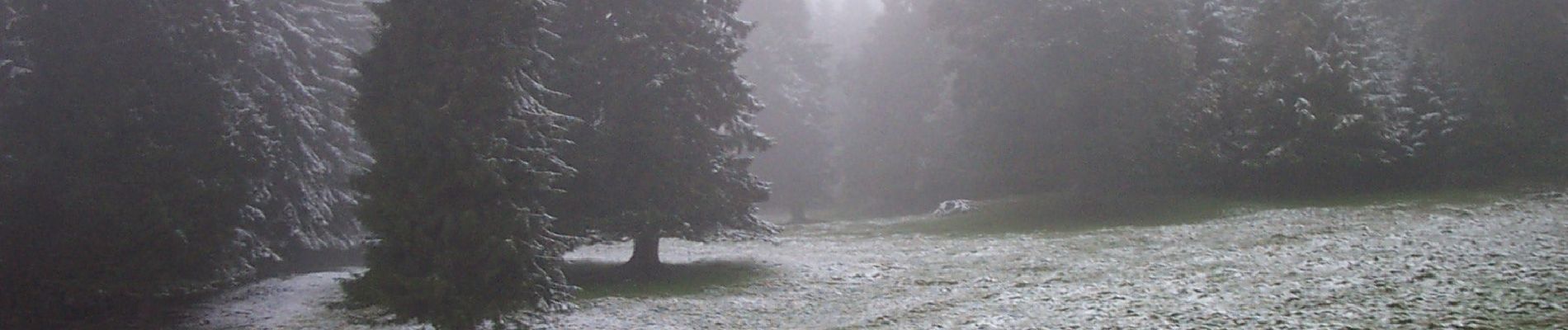
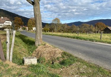
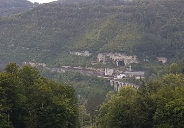
Trail On foot of 4.2 km to be discovered at Neuchâtel, Unknown, Val-de-Ruz. This trail is proposed by SityTrail - itinéraires balisés pédestres.
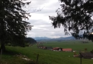
Vue des Alpes - La Pouette Mange
Symbol: gelbe Raute


On foot

On foot
On foot

On foot
On foot
On foot
Walking
Cycle

Mountain bike