


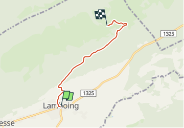

3.8 km | 4.8 km-effort

Tous les sentiers balisés d’Europe GUIDE+


FREE GPS app for hiking
 SityTrail
IGN / Geographical institutes
SityTrail World
The world is yours!
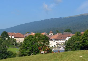
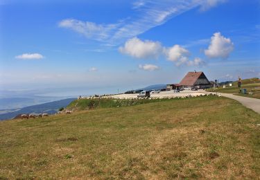
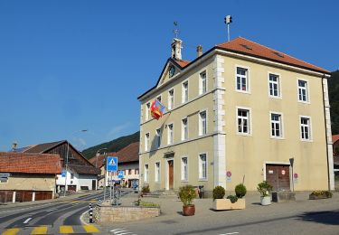
Trail On foot of 3.8 km to be discovered at Bern, Bernese Jura administrative district, Plateau de Diesse. This trail is proposed by SityTrail - itinéraires balisés pédestres.
Trail created by Berner Wanderwege.
Symbol: gelber Diamant (waagrecht)


On foot
On foot
On foot
On foot
On foot
On foot

On foot
On foot

Mountain bike