


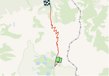

3.6 km | 4.6 km-effort

Tous les sentiers balisés d’Europe GUIDE+


FREE GPS app for hiking
 SityTrail
IGN / Geographical institutes
SityTrail World
The world is yours!
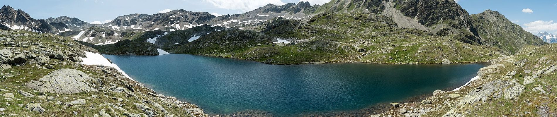
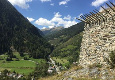
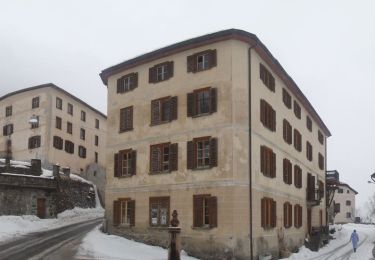
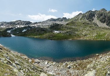
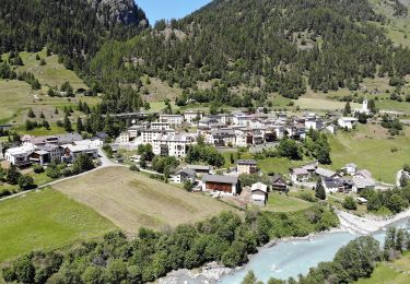
Trail On foot of 3.9 km to be discovered at Grisons, Region Engiadina Bassa/Val Müstair, Zernez. This trail is proposed by SityTrail - itinéraires balisés pédestres.
Trail created by BAW.
Macun-Alp Zeznina Dadaint
Symbol: weiss-rot-weiss

On foot
On foot
On foot
On foot

Walking
Walking

Other activity
Other activity

Cycle