


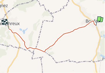

24 km | 34 km-effort

Tous les sentiers balisés d’Europe GUIDE+


FREE GPS app for hiking
 SityTrail
IGN / Geographical institutes
SityTrail World
The world is yours!
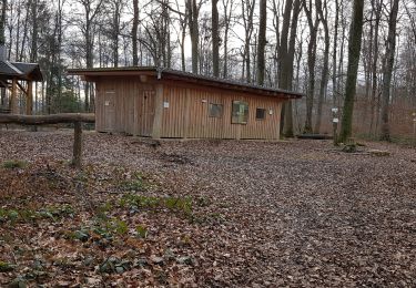
Trail On foot of 5 km to be discovered at Jura, District de Porrentruy, Bonfol. This trail is proposed by SityTrail - itinéraires balisés pédestres.
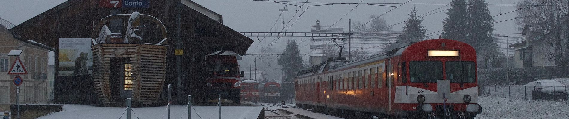
Bonfol-Damphreux
Symbol: gelbe Raute


Walking
Walking
Cycle

Walking


sport
Walking

Walking

Mountain bike