


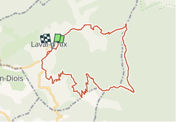

7.8 km | 14.3 km-effort

User


FREE GPS app for hiking
 SityTrail
IGN / Geographical institutes
SityTrail World
The world is yours!
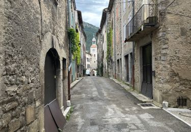
Trail Walking of 13 km to be discovered at Auvergne-Rhône-Alpes, Drôme, Laval-d'Aix. This trail is proposed by ajd26.
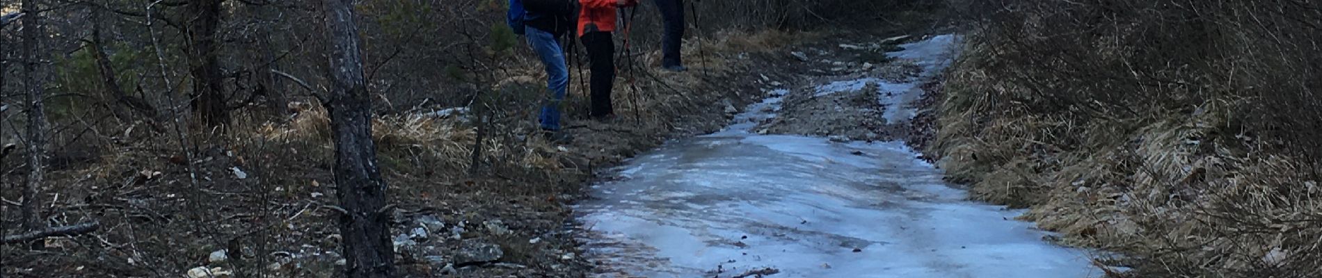
départ de Laval d'Aix, parking vers la mairie, col des Caux, à Pié de Boeuf quitter le sentier balisé et prendre la trace qui monte sur la crête qu'il faut suivre jusqu'au col Ayaste la trace n'est pas toujours bien marquée avec qlqs passages en foret
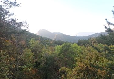
beaux panoramas


Walking
Walking
Walking


sport
sport

Walking

sport

Walking
Walking