


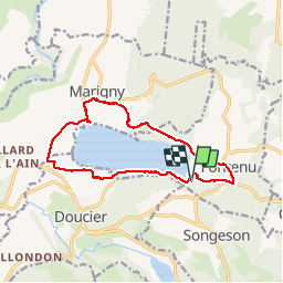


14.5 km | 20 km-effort

User


FREE GPS app for hiking
 SityTrail
IGN / Geographical institutes
SityTrail World
The world is yours!
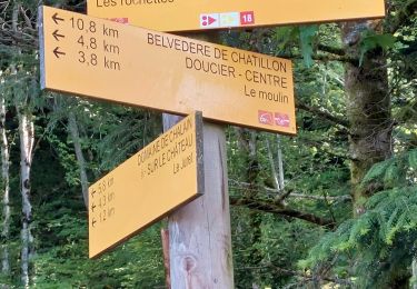
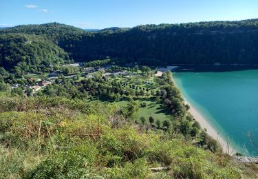
Trail Walking of 13.1 km to be discovered at Bourgogne-Franche-Comté, Jura, Fontenu. This trail is proposed by antoine01.
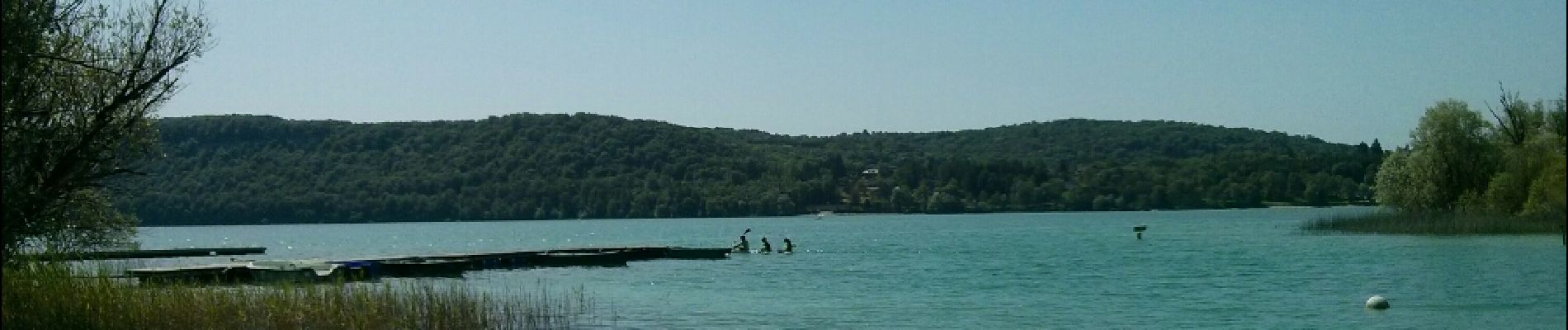
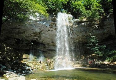
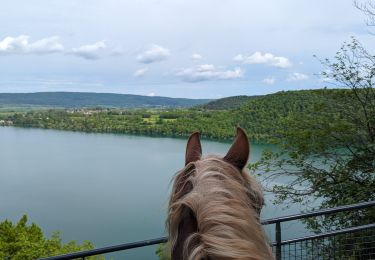
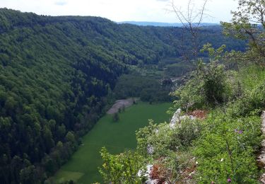
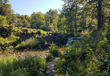
Balade sympa à faire sur la journée. Sentier soit en bordure de lac, soit en surplomb ou en bordure de rochers avec belvédères


21 photos in total. Please click on a photo to see them all in the gallery.

Walking

Walking
Mountain bike
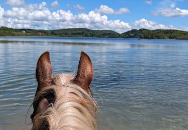
Horseback riding
Horseback riding
Walking
Walking
Walking
Walking