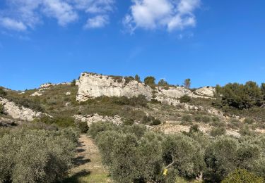
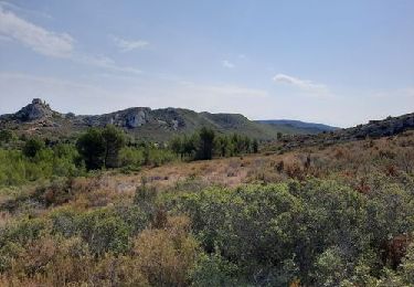
9.7 km | 13 km-effort
plateau Orgon
biut
User
Length
32 km
Max alt
359 m
Uphill gradient
601 m
Km-Effort
40 km
Min alt
97 m
Downhill gradient
601 m
Boucle
Yes
Creation date :
2022-02-13 08:30:49.84
Updated on :
2022-02-13 10:45:58.411
2h03
Difficulty : Medium
FREE GPS app for hiking
About
Trail Electric bike of 32 km to be discovered at Provence-Alpes-Côte d'Azur, Bouches-du-Rhône, Eyguières. This trail is proposed by biut.
Positioning
Country:
France
Region :
Provence-Alpes-Côte d'Azur
Department/Province :
Bouches-du-Rhône
Municipality :
Eyguières
Location:
Unknown
Start:(Dec)
Start:(UTM)
663023 ; 4839501 (31T) N.
Comments
Trails nearby
lamanon grottes calas
Walking
Very easy
(1)
Lamanon,
Provence-Alpes-Côte d'Azur,
Bouches-du-Rhône,
France
2h 38min
No
La Tour des Opies
Walking
Difficult
Eyguières,
Provence-Alpes-Côte d'Azur,
Bouches-du-Rhône,
France
11.6 km | 16.9 km-effort
3h 33min
Yes
Lamanon Cales Facile
Walking
Easy
(1)
Lamanon,
Provence-Alpes-Côte d'Azur,
Bouches-du-Rhône,
France
6.2 km | 8.9 km-effort
1h 30min
Yes
Tour des Opies par les Barres Rouges
Walking
Medium
Eyguières,
Provence-Alpes-Côte d'Azur,
Bouches-du-Rhône,
France
8.8 km | 14.1 km-effort
2h 52min
Yes
lamanon
Walking
Medium
Lamanon,
Provence-Alpes-Côte d'Azur,
Bouches-du-Rhône,
France
14.3 km | 19.4 km-effort
6h 18min
Yes
Le Mont Menu
On foot
Easy
Eyguières,
Provence-Alpes-Côte d'Azur,
Bouches-du-Rhône,
France
6.1 km | 8.1 km-effort
2h 0min
Yes
PF-Lamanon - Le Mur aux Abeilles
Walking
Medium
Lamanon,
Provence-Alpes-Côte d'Azur,
Bouches-du-Rhône,
France
6.5 km | 9.1 km-effort
2h 23min
Yes
eyguiers
Walking
Easy
Eyguières,
Provence-Alpes-Côte d'Azur,
Bouches-du-Rhône,
France
14.3 km | 17.6 km-effort
5h 10min
Yes
eyguieres
Walking
Very easy
Eyguières,
Provence-Alpes-Côte d'Azur,
Bouches-du-Rhône,
France
15.2 km | 19.5 km-effort
5h 50min
Yes