


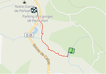

17.3 km | 26 km-effort

User


FREE GPS app for hiking
 SityTrail
IGN / Geographical institutes
SityTrail World
The world is yours!
Trail Walking of 785 m to be discovered at Provence-Alpes-Côte d'Azur, Var, Callas. This trail is proposed by ericf64.
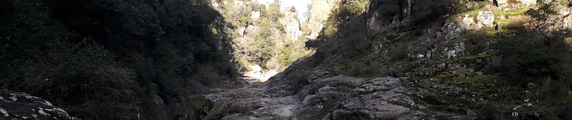
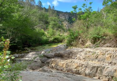
40 minutes aller-retour. la deuxième partie du chemin se transforme en passage entre les baignoires sur les rochers au fond de la gorge. très jolie


Walking

Walking

Walking

Walking

Walking
Walking
On foot
Walking
Walking