


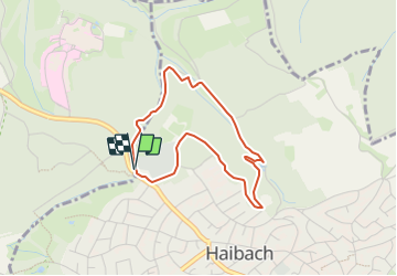

4.1 km | 5.6 km-effort


Tous les sentiers balisés d’Europe GUIDE+


FREE GPS app for hiking
 SityTrail
IGN / Geographical institutes
SityTrail World
The world is yours!
Trail On foot of 3.1 km to be discovered at Bavaria, Landkreis Aschaffenburg, Haibach. This trail is proposed by SityTrail - itinéraires balisés pédestres.
Trail created by Gemeinde Haibach.
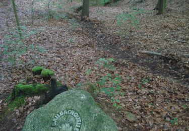
Symbol: Schwarze Eule auf weißem Grund
Website: https://www.haibach.de/index.php?id=200&L=0


On foot
On foot

On foot
On foot
On foot
On foot
On foot
On foot
On foot