


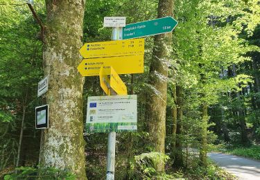
4.8 km | 6 km-effort


Tous les sentiers balisés d’Europe GUIDE+


FREE GPS app for hiking
 SityTrail
IGN / Geographical institutes
SityTrail World
The world is yours!
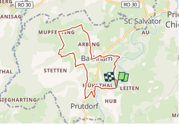
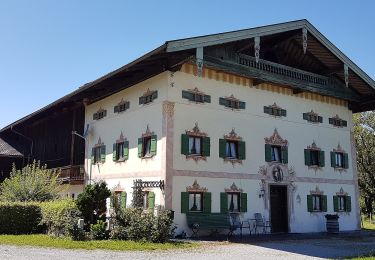
Trail On foot of 7.3 km to be discovered at Bavaria, Landkreis Rosenheim, Prien am Chiemsee. This trail is proposed by SityTrail - itinéraires balisés pédestres.
Symbol: Schwarze Zahl auf weißem, runden Grund mit schwarzem Rand


On foot
On foot
On foot
On foot

On foot
On foot
On foot

On foot

On foot