


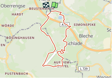

12.2 km | 17.9 km-effort

Tous les sentiers balisés d’Europe GUIDE+


FREE GPS app for hiking
 SityTrail
IGN / Geographical institutes
SityTrail World
The world is yours!
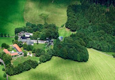
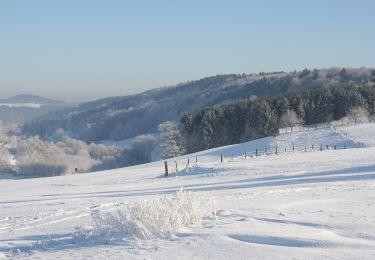
Trail On foot of 7.5 km to be discovered at North Rhine-Westphalia, Kreis Olpe, Drolshagen. This trail is proposed by SityTrail - itinéraires balisés pédestres.
Trail created by Sauerländischer Gebirgsverein.
Symbol: weißes A2 auf schwarzem Grund
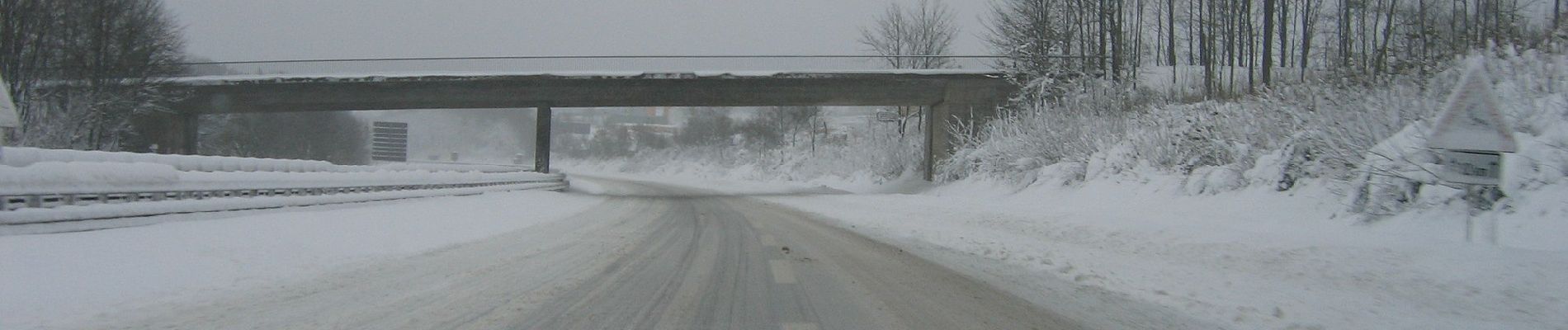
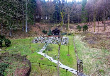
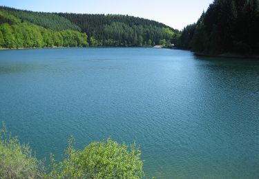
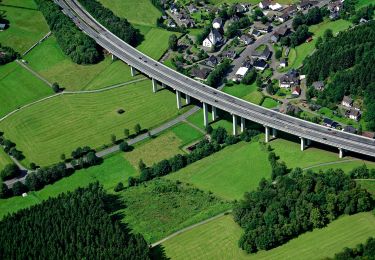
 - Photo 1")
 - Photo 2")
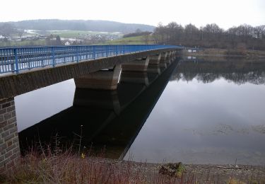
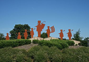
![Trail On foot Bergneustadt - [11] Feuer&Flamme-Weg - Photo](https://media.geolcdn.com/t/375/260/237493a2-6cde-46b9-b021-eea46d9cd4bc.jpeg&format=jpg&maxdim=2)
On foot
On foot
On foot
On foot
On foot
On foot
On foot
On foot
On foot