


10 km | 13.6 km-effort

Tous les sentiers balisés d’Europe GUIDE+


FREE GPS app for hiking
 SityTrail
IGN / Geographical institutes
SityTrail World
The world is yours!
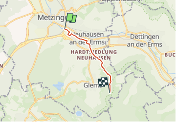
Trail On foot of 5 km to be discovered at Baden-Württemberg, Landkreis Reutlingen, Metzingen. This trail is proposed by SityTrail - itinéraires balisés pédestres.
Trail created by Schwäbischer Albverein.
vervollständige die Relation bis zum Grüner Fels - St.Johann
Symbol: blaues Dreieck auf weißem Grund


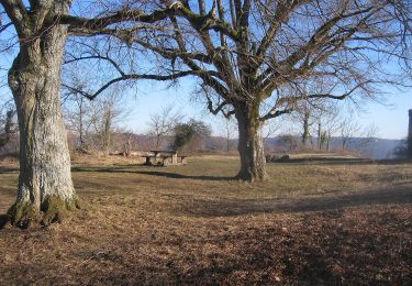
On foot
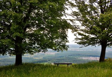
On foot
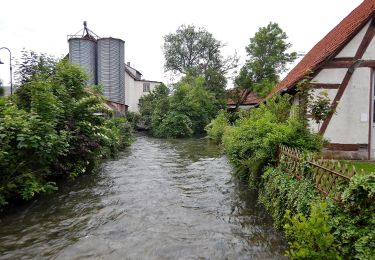
On foot
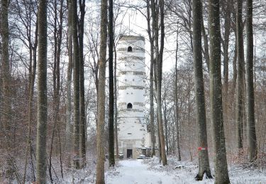
On foot

On foot
On foot

On foot
On foot
On foot