


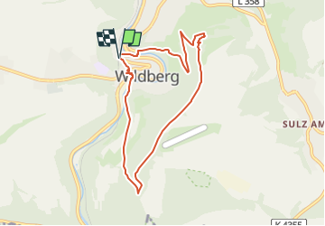

3.7 km | 5 km-effort

Tous les sentiers balisés d’Europe GUIDE+


FREE GPS app for hiking
 SityTrail
IGN / Geographical institutes
SityTrail World
The world is yours!
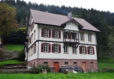
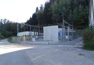
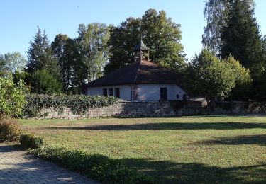
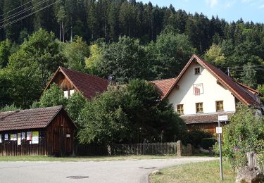
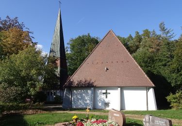
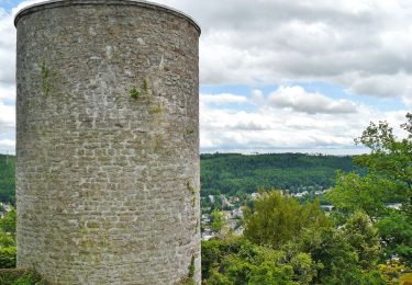
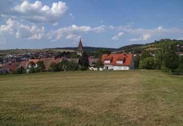
Trail On foot of 7.3 km to be discovered at Baden-Württemberg, Landkreis Calw, Wildberg. This trail is proposed by SityTrail - itinéraires balisés pédestres.
Website: https://schwarzwaldnatur.blogspot.com/2017/03/naturpark-augenblick-wildberg.html


On foot
On foot
On foot
On foot
On foot
On foot
On foot
On foot
On foot