


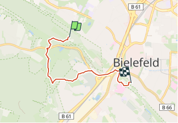

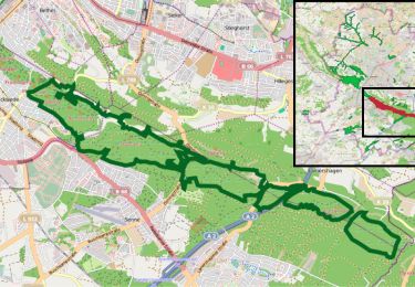
3.7 km | 4.5 km-effort

Tous les sentiers balisés d’Europe PRO


FREE GPS app for hiking
 SityTrail
IGN / Geographical institutes
SityTrail World
The world is yours!
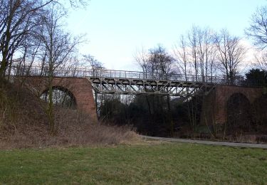
Trail On foot of 4.4 km to be discovered at North Rhine-Westphalia, Bielefeld, Unknown. This trail is proposed by SityTrail - itinéraires balisés pédestres.
Trail created by Teutoburger Wald Verband.
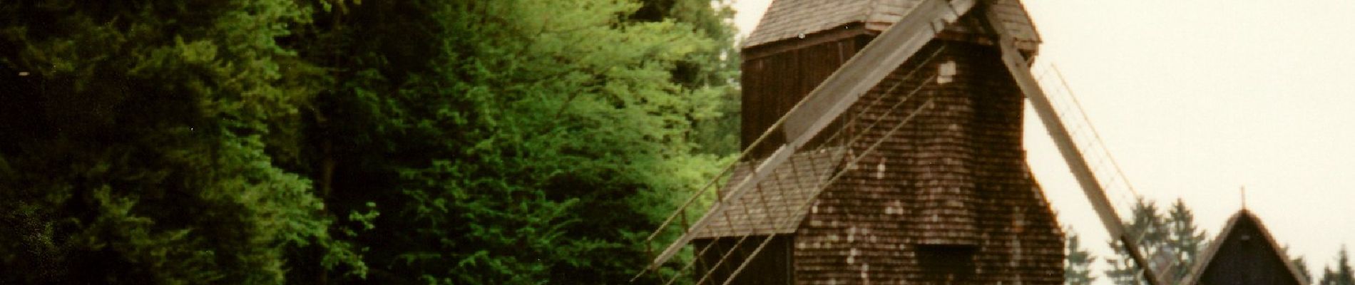
Symbol: Schwarzer Grund mit Burg, geschwungener Weg, Bergen. Text "Burg zu Berg" i Weiß


On foot
On foot
On foot

On foot
On foot
On foot
On foot
On foot

On foot