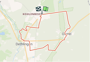
![](/images/other/stat-length.png)
![Trail On foot Munster - Zapfenweg - Photo](https://media.geolcdn.com/t/1900/400/ext.pjpeg?maxdim=2&url=https%3A%2F%2Fmedia.geolcdn.com%2Ff%2F387b2ae0-23f5-41ff-abe0-0efdb6d86ee8.jpeg)
Zapfenweg
SityTrail - itinéraires balisés pédestres
Tous les sentiers balisés d’Europe PRO
![Length](/images/other/stat-length.png)
Length
16.1 km
![Max alt](https://static1.geolcdn.com/siteimages/upload/files/1508320355ic_sort_altitude_max_24dp.png)
Max alt
93 m
![Uphill gradient](https://static1.geolcdn.com/siteimages/upload/files/1508320355ic_sort_den_pos_24dp.png)
Uphill gradient
131 m
![Km-Effort](/images/other/stat-length.png)
Km-Effort
17.9 km
![Min alt](https://static1.geolcdn.com/siteimages/upload/files/1508320355ic_sort_altitude_min_24dp.png)
Min alt
69 m
![Downhill gradient](https://static1.geolcdn.com/siteimages/upload/files/1508320355ic_sort_den_neg_24dp.png)
Downhill gradient
132 m
![Boucle](https://static1.geolcdn.com/siteimages/upload/files/16400158638029165_repeat_loop_refresh_sync_direction_icon.png)
Boucle
Yes
Signpost
Creation date :
2022-02-11 20:23:01.214
Updated on :
2022-02-11 20:23:01.214
![On foot](https://static1.geolcdn.com/sitytour/trail-icons/100.png)
4h03
Difficulty : Easy
![Scan this QR Code to open this trail in the SityTrail application](https://capi.geolives.com/qq0zvz2zws4bq2lad0pu/sitytour/trails/3101746/qr.png?size=200)
FREE GPS app for hiking
About
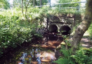
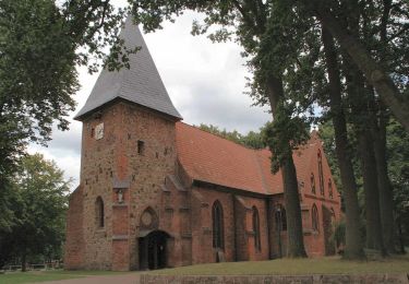
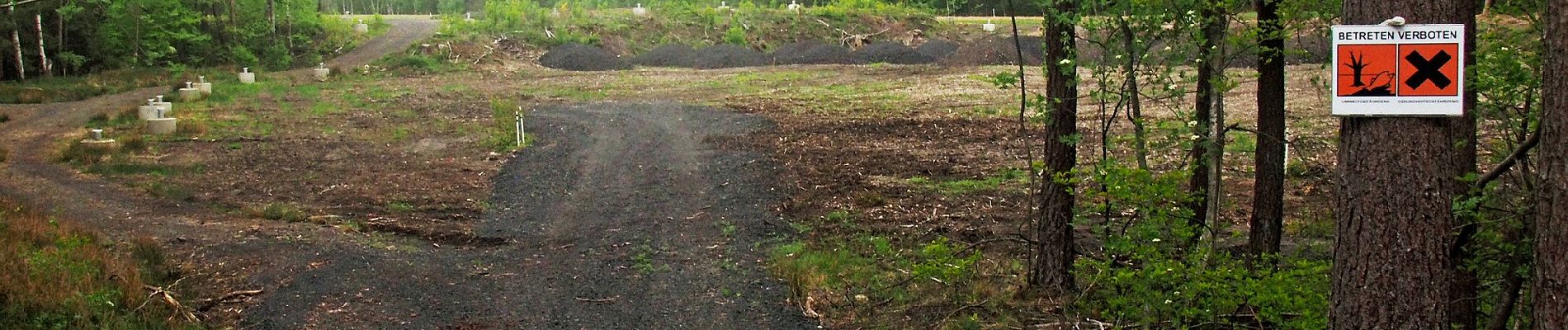
Trail On foot of 16.1 km to be discovered at Lower Saxony, Heidekreis, Munster. This trail is proposed by SityTrail - itinéraires balisés pédestres.
Description
Trail created by Kulturraum Oberes Örzetal.
Symbol: Weisser Zapfen auf braunem Grund
Positioning
Country:
Germany
Region :
Lower Saxony
Department/Province :
Heidekreis
Municipality :
Munster
Location:
Unknown
Start:(Dec)
Start:(UTM)
577420 ; 5870351 (32U) N.
Comments