


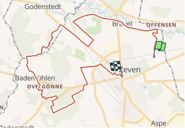

18.6 km | 20 km-effort

Tous les sentiers balisés d’Europe GUIDE+


FREE GPS app for hiking
 SityTrail
IGN / Geographical institutes
SityTrail World
The world is yours!
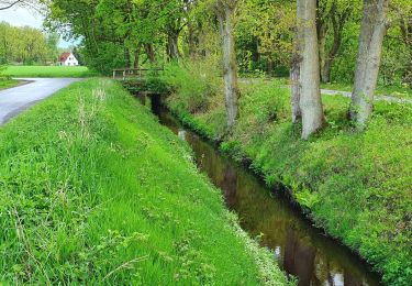
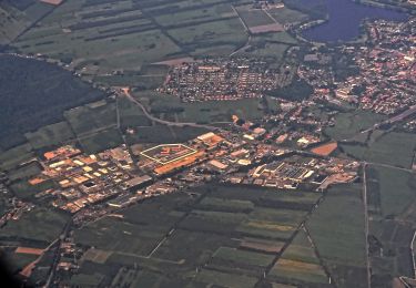
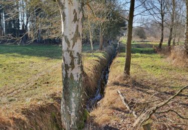
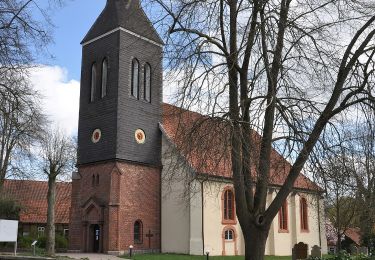
Trail On foot of 21 km to be discovered at Lower Saxony, Landkreis Rotenburg (Wümme), Zeven. This trail is proposed by SityTrail - itinéraires balisés pédestres.
Trail created by Touristikverband Landkreis Rotenburg (Wümme).
Symbol: weißes, stilisiertes N auf orangenem Grund, darunter der Name des Weges


On foot
On foot

On foot
On foot
On foot
On foot
On foot
On foot
On foot