


5 km | 8.6 km-effort

Tous les sentiers balisés d’Europe GUIDE+


FREE GPS app for hiking
 SityTrail
IGN / Geographical institutes
SityTrail World
The world is yours!
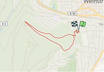
Trail On foot of 3.6 km to be discovered at Rhineland-Palatinate, Neustadt an der Weinstraße, Unknown. This trail is proposed by SityTrail - itinéraires balisés pédestres.
Trail created by Stadt Neustadt an der Weinstraße.
Symbol: Zwei stilisierte grüne Bäume in weißem Punkt auf grünem Grund
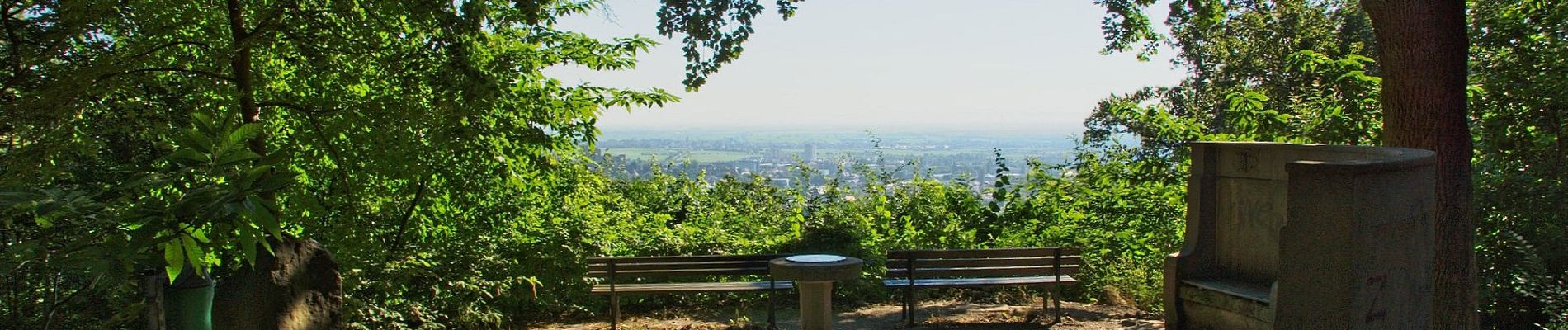
wald - Photo 1")
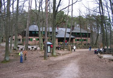
wald - Photo 2")
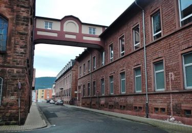
wald - Photo 3")
wald - Photo 4")
wald - Photo 5")
wald - Photo 6")
wald - Photo 7")
wald - Photo 8")
wald - Photo 9")
wald - Photo 10")
On foot
On foot

On foot
On foot