


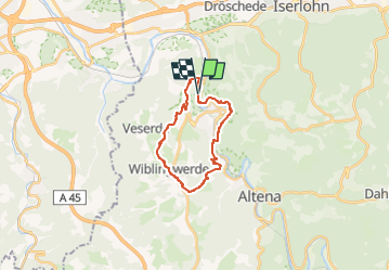

16.6 km | 24 km-effort


Tous les sentiers balisés d’Europe GUIDE+


FREE GPS app for hiking
 SityTrail
IGN / Geographical institutes
SityTrail World
The world is yours!
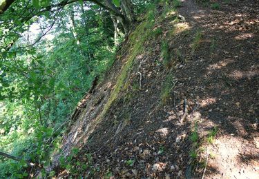
Trail On foot of 16.9 km to be discovered at North Rhine-Westphalia, Märkischer Kreis, Nachrodt-Wiblingwerde. This trail is proposed by SityTrail - itinéraires balisés pédestres.
Trail created by Sauerländischer Gebirgsverein.


![Trail On foot Altena - [-] Oberhalb der Nette - Photo](https://media.geolcdn.com/t/375/260/ext.jpg?maxdim=2&url=https%3A%2F%2Fmedia.geolcdn.com%2Ff%2F19ece288-5282-46fa-9081-4f184482635d.jpeg)
On foot
On foot
On foot
On foot
On foot

On foot

On foot
On foot
On foot