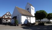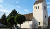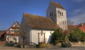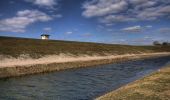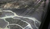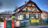

Rad- und Wanderweg Kehl-Freistett
SityTrail - itinéraires balisés pédestres
Tous les sentiers balisés d’Europe GUIDE+

Length
17.4 km

Max alt
142 m

Uphill gradient
127 m

Km-Effort
19.1 km

Min alt
123 m

Downhill gradient
132 m
Boucle
No
Signpost
Creation date :
2022-02-11 20:05:25.761
Updated on :
2022-02-11 20:05:25.761
4h20
Difficulty : Easy

FREE GPS app for hiking
About
Trail On foot of 17.4 km to be discovered at Baden-Württemberg, Ortenaukreis, Kehl. This trail is proposed by SityTrail - itinéraires balisés pédestres.
Description
Trail created by Schwarzwaldverein Kehl-Hanauerland e.V..
Positioning
Country:
Germany
Region :
Baden-Württemberg
Department/Province :
Ortenaukreis
Municipality :
Kehl
Location:
Auenheim
Start:(Dec)
Start:(UTM)
414115 ; 5384177 (32U) N.
Comments
Trails nearby
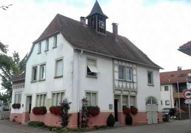
Innerer Rundweg


On foot
Easy
Kehl,
Baden-Württemberg,
Ortenaukreis,
Germany

8.5 km | 9.3 km-effort
2h 7min
No

2022-08-25_07h47m05_Streckenplan Präsidentenwanderung über 15 km


Walking
Medium
(2)
Strasbourg,
Grand Est,
Bas-Rhin,
France

7 km | 8.4 km-effort
1h 53min
No

Forêt de la Robertsau et Rhin


Walking
Easy
(1)
Strasbourg,
Grand Est,
Bas-Rhin,
France

17.9 km | 20 km-effort
5h 13min
Yes
Strasbourg, balade dans la forêt de Pourtalès.


Walking
Easy
Strasbourg,
Grand Est,
Bas-Rhin,
France

7.9 km | 8.7 km-effort
1h 46min
Yes

Les berges de Strasbourg


Walking
Easy
(1)
Strasbourg,
Grand Est,
Bas-Rhin,
France

11.4 km | 13.2 km-effort
2h 50min
Yes
Vero et mimi


Horseback riding
Easy
La Wantzenau,
Grand Est,
Bas-Rhin,
France

13.6 km | 15.1 km-effort
1h 59min
Yes
Strasbourg Robertsau-Gare


Walking
Medium
Schiltigheim,
Grand Est,
Bas-Rhin,
France

10.1 km | 11.4 km-effort
2h 24min
No

Strasbourg Port du Rhin-Orangerie


Walking
Medium
Strasbourg,
Grand Est,
Bas-Rhin,
France

5.5 km | 6.2 km-effort
1h 7min
No


 SityTrail


