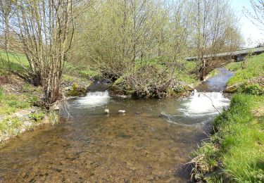
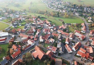
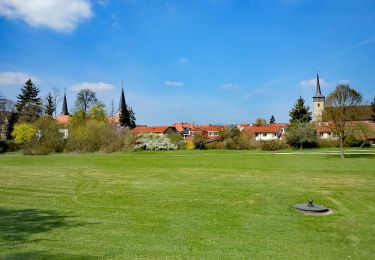
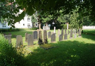
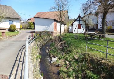
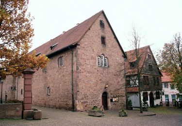
Trail On foot Schlüchtern - BUND-Schlüchtern-Rundweg 3 - Photo

BUND-Schlüchtern-Rundweg 3

Tous les sentiers balisés d’Europe GUIDE+

© OpenStreetMap contributors
Length
Length
13.5 km
Max alt
Max alt
454 m
Uphill gradient
Uphill gradient
293 m
Km-Effort
Km-Effort  
17.4 km
Min alt
Min alt
204 m
Downhill gradient
Downhill gradient
293 m
Boucle
Boucle
Yes
Signpost
Signpost
Creation date :
2022-02-11 19:36:10.886
Updated on :
2022-02-11 19:36:10.886

(0 Reviews)

On foot
On foot
3h57
Difficulty : Easy

Scan this QR Code to open this trail in the SityTrail application

FREE GPS app for hiking

Logo SityTrail SityTrail

IGN / Geographical institutes

Download SityTrail from the App Store Download SityTrail from Google Play

Logo SityTrail SityTrail World

The world is yours!

Download SityTrail from the App Store Download SityTrail from Google Play Download SityTrail on Huawei AppGallery

About

Trail On foot of 13.5 km to be discovered at Hesse, Main-Kinzig-Kreis, Schlüchtern. This trail is proposed by SityTrail - itinéraires balisés pédestres.

Description

Der 47 km lange Schlüchtern-Rundweg des BUND (Wegbeschreibung) zeigt Landschaft und Sehenswürdigkeiten im Umkreis der Bergwinkel-Stadt. Wanderer werden sich die Runde idealerweise in die drei vorgeschlagenen Etappen von 17, 12 und 18 km einteilen, wobei dann Anreise und Heimkehr zu/von Start und Ziel zu organisieren sind. Eine reizvolle Alternative bieten die 7 Zubringer- und Rückführwege,…

Website: https://schluechtern.wordpress.com/about

Elevation profile

Photos

Positioning

Country:
Germany
Region :
Hesse
Department/Province :
Main-Kinzig-Kreis
Municipality :
Schlüchtern
Location:
Schlüchtern
Start:(UTM)
537093 ; 5577422 (32U) N.

Trails nearby

Trail On foot Schlüchtern - Schlüchtern Wanderweg SLÜ2 - Photo
On foot
GUIDE+

On foot

Easy
Schlüchtern, Hesse, Main-Kinzig-Kreis, Germany
4.1 km | 5.6 km-effort
1h 16min
No
Trail On foot Schlüchtern - BUND-Schlüchtern-Rundweg 7 - Photo
On foot
GUIDE+

On foot

Medium
Schlüchtern, Hesse, Main-Kinzig-Kreis, Germany
17.5 km | 24 km-effort
5h 31min
Yes
Trail On foot Schlüchtern - BUND-Schlüchtern-Rundweg 1 - Photo
On foot
GUIDE+

On foot

Medium
Schlüchtern, Hesse, Main-Kinzig-Kreis, Germany
21 km | 29 km-effort
6h 31min
Yes
Trail On foot Schlüchtern - BUND-Schlüchtern-Rundweg 2 - Photo
On foot
GUIDE+

On foot

Medium
Schlüchtern, Hesse, Main-Kinzig-Kreis, Germany
24 km | 31 km-effort
7h 1min
No
Trail On foot Schlüchtern - BUND-Schlüchtern-Rundweg 4 - Photo
On foot
GUIDE+

On foot

Easy
Schlüchtern, Hesse, Main-Kinzig-Kreis, Germany
5.5 km | 7.8 km-effort
1h 46min
No
Trail On foot Schlüchtern - Schlüchtern Wanderweg SLÜ4 - Photo
On foot
GUIDE+

On foot

Easy
Schlüchtern, Hesse, Main-Kinzig-Kreis, Germany
10.1 km | 12.8 km-effort
2h 54min
Yes
Trail On foot Schlüchtern - Schlüchtern Wanderweg SLÜ6 - Photo
On foot
GUIDE+

On foot

Easy
Schlüchtern, Hesse, Main-Kinzig-Kreis, Germany
6.2 km | 7.3 km-effort
1h 39min
No
Trail On foot Steinau an der Straße - Steinau a. d. Straße, Wanderweg 8 - Photo
On foot
GUIDE+

On foot

Easy
Steinau an der Straße, Hesse, Main-Kinzig-Kreis, Germany
8.4 km | 9.9 km-effort
2h 14min
No
Trail On foot Steinau an der Straße - Steinau a.d. Straße - Wartenweg 1 - Photo
On foot
GUIDE+

On foot

Easy
Steinau an der Straße, Hesse, Main-Kinzig-Kreis, Germany
3.1 km | 4.6 km-effort
1h 2min
No


Close
My subscriptions