


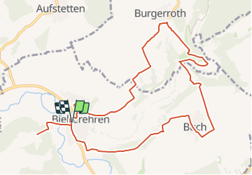

15.3 km | 18.1 km-effort

Tous les sentiers balisés d’Europe GUIDE+


FREE GPS app for hiking
 SityTrail
IGN / Geographical institutes
SityTrail World
The world is yours!
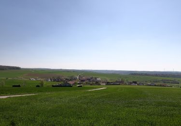
Trail On foot of 11.8 km to be discovered at Bavaria, Landkreis Würzburg, Bieberehren. This trail is proposed by SityTrail - itinéraires balisés pédestres.
Trail created by Archäologisches Spessartprojekt.
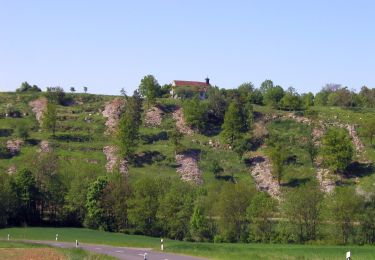
Zwischen Käppele und Kunigundenkapelle lernen Sie spannende Seiten des Bieberehrener BilderBuchs kennen
Symbol: ECPflag.jpg
Website: http://www.spessartprojekt.de/?page_id=22630


On foot
On foot