


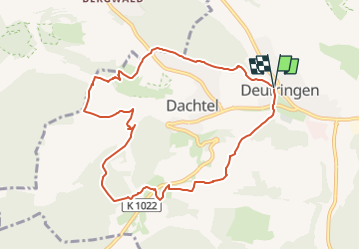

12.2 km | 15.2 km-effort


Tous les sentiers balisés d’Europe GUIDE+


FREE GPS app for hiking
 SityTrail
IGN / Geographical institutes
SityTrail World
The world is yours!
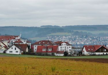
Trail On foot of 8.8 km to be discovered at Baden-Württemberg, Landkreis Böblingen, Aidlingen. This trail is proposed by SityTrail - itinéraires balisés pédestres.
Website: https://www.aidlingen.de/fileadmin/Dateien/Bilder/LandTouren/Beschreibung_LandTour_SchafSpuren.pdf


On foot
On foot

On foot
On foot
On foot
On foot

On foot
On foot

On foot