


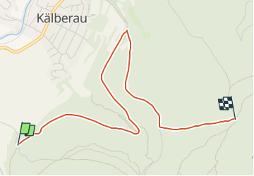

6.3 km | 8.8 km-effort

Tous les sentiers balisés d’Europe GUIDE+


FREE GPS app for hiking
 SityTrail
IGN / Geographical institutes
SityTrail World
The world is yours!
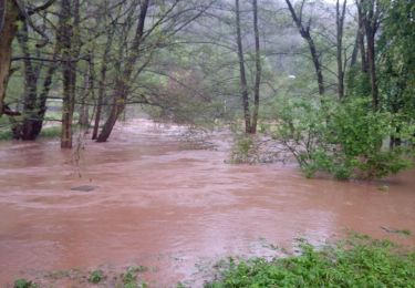
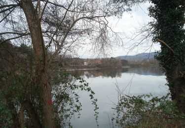
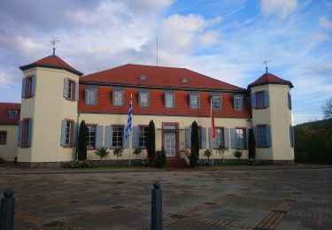
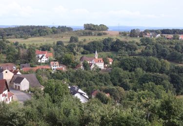
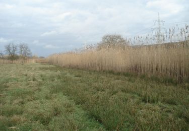
Trail On foot of 3.9 km to be discovered at Bavaria, Landkreis Aschaffenburg, Alzenau. This trail is proposed by SityTrail - itinéraires balisés pédestres.
Trail created by Freigerichter Bund Alzenau e.V..
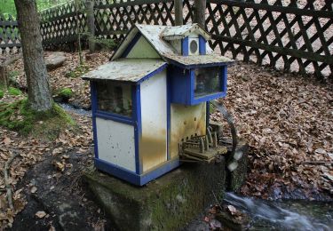
Symbol: Foto Ludwigsturm und blaue 3


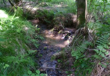
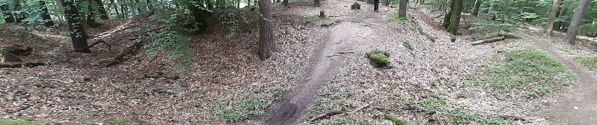
On foot
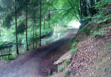
On foot
On foot

On foot
On foot
On foot
On foot
On foot
On foot