


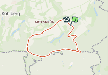

10.7 km | 14.6 km-effort

Tous les sentiers balisés d’Europe GUIDE+


FREE GPS app for hiking
 SityTrail
IGN / Geographical institutes
SityTrail World
The world is yours!
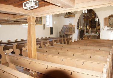
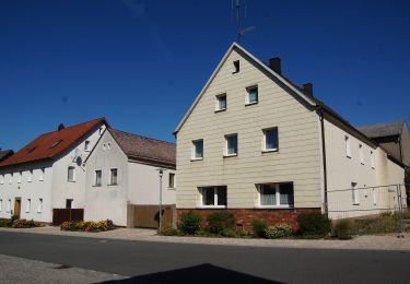
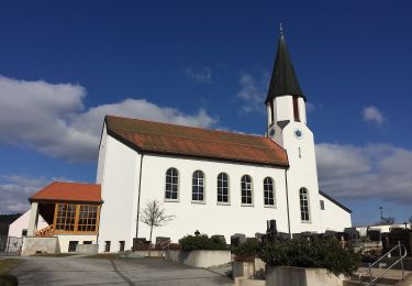
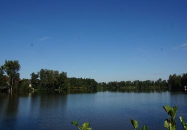
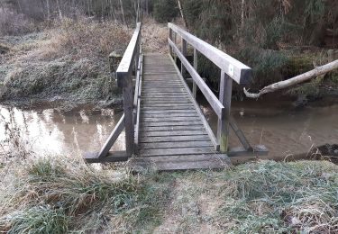
Trail On foot of 6.9 km to be discovered at Bavaria, Landkreis Neustadt an der Waldnaab, Kohlberg. This trail is proposed by SityTrail - itinéraires balisés pédestres.
Trail created by Oberpfälzer Waldverein Kohlberg.


On foot
On foot
On foot
On foot
On foot
On foot
On foot
On foot
On foot