![](/images/other/stat-length.png)
![Trail On foot Zeulenroda-Triebes - Rundweg Staudamm - Photo](https://media.geolcdn.com/t/1900/400/fa2fa4e3-ba29-4720-90d6-ba14eed49c07.jpeg&format=pjpeg&maxdim=2)
Rundweg Staudamm
SityTrail - itinéraires balisés pédestres
Tous les sentiers balisés d’Europe GUIDE+
![Length](/images/other/stat-length.png)
Length
5.8 km
![Max alt](https://static1.geolcdn.com/siteimages/upload/files/1508320355ic_sort_altitude_max_24dp.png)
Max alt
394 m
![Uphill gradient](https://static1.geolcdn.com/siteimages/upload/files/1508320355ic_sort_den_pos_24dp.png)
Uphill gradient
103 m
![Km-Effort](/images/other/stat-length.png)
Km-Effort
7.2 km
![Min alt](https://static1.geolcdn.com/siteimages/upload/files/1508320355ic_sort_altitude_min_24dp.png)
Min alt
328 m
![Downhill gradient](https://static1.geolcdn.com/siteimages/upload/files/1508320355ic_sort_den_neg_24dp.png)
Downhill gradient
104 m
![Boucle](https://static1.geolcdn.com/siteimages/upload/files/16400158638029165_repeat_loop_refresh_sync_direction_icon.png)
Boucle
Yes
Signpost
Creation date :
2022-02-11 19:15:38.092
Updated on :
2022-02-11 19:15:38.092
![On foot](https://static1.geolcdn.com/sitytour/trail-icons/100.png)
1h37
Difficulty : Easy
![Scan this QR Code to open this trail in the SityTrail application](https://capi.geolives.com/qq0zvz2zws4bq2lad0pu/sitytour/trails/3100446/qr.png?size=200)
FREE GPS app for hiking
About
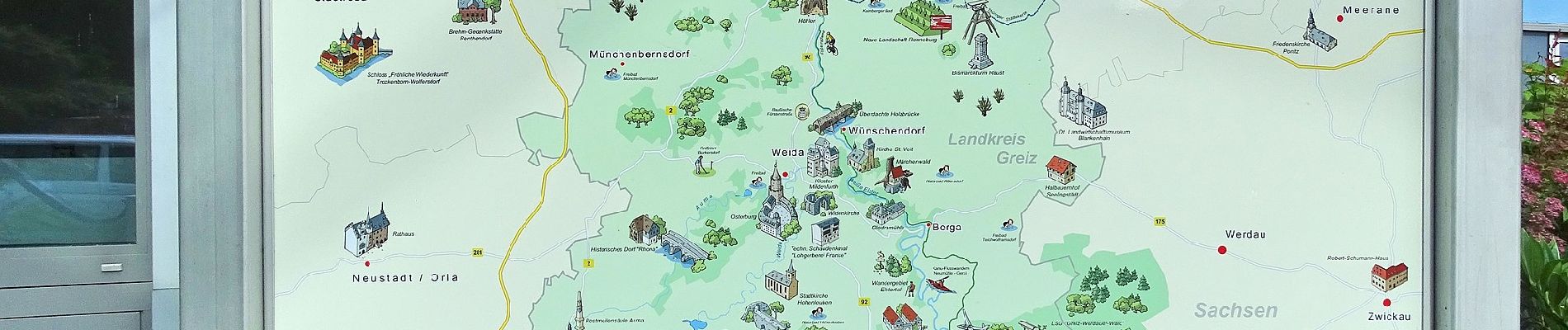
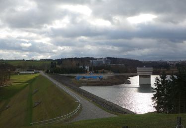
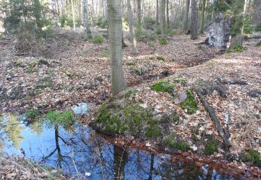
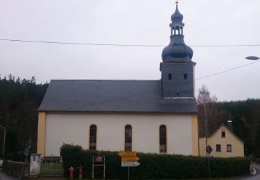
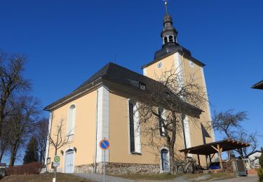
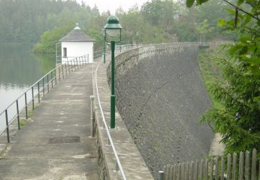
Trail On foot of 5.8 km to be discovered at Thuringia, Greiz, Zeulenroda-Triebes. This trail is proposed by SityTrail - itinéraires balisés pédestres.
Description
Symbol: blue letter π (Pi) and red dot on top;all together on white ground
Positioning
Country:
Germany
Region :
Thuringia
Department/Province :
Greiz
Municipality :
Zeulenroda-Triebes
Location:
Unknown
Start:(Dec)
Start:(UTM)
710347 ; 5616462 (32U) N.
Comments
Trails nearby
![Trail On foot Zeulenroda-Triebes - Rundweg Vorsperre Pisselsmühle - Photo](https://media.geolcdn.com/t/375/260/d6a56bf3-1dd3-423e-aaae-9f14453bca15.jpeg&format=jpg&maxdim=2)
![On foot On foot](https://static1.geolcdn.com/sitytour/trail-icons/100.png)
Rundweg Vorsperre Pisselsmühle
On foot
Easy
Zeulenroda-Triebes,
Thuringia,
Greiz,
Germany
![](/images/other/stat-length.png)
6.1 km | 8.1 km-effort
1h 50min
![](https://static1.geolcdn.com/siteimages/upload/files/16400158638029165_repeat_loop_refresh_sync_direction_icon.png)
Yes
![Trail On foot Zeulenroda-Triebes - Poellwitzer Rundweg Sued - Photo](https://media.geolcdn.com/t/375/260/08d50e8f-d2a9-439f-9a77-dff38f8003bb.jpeg&format=jpg&maxdim=2)
![On foot On foot](https://static1.geolcdn.com/sitytour/trail-icons/100.png)
Poellwitzer Rundweg Sued
On foot
Easy
Zeulenroda-Triebes,
Thuringia,
Greiz,
Germany
![](/images/other/stat-length.png)
9.2 km | 10.9 km-effort
2h 29min
![](https://static1.geolcdn.com/siteimages/upload/files/16400158638029165_repeat_loop_refresh_sync_direction_icon.png)
Yes
![Trail On foot Zeulenroda-Triebes - Rundweg Vorsperre Riedelmühle - Photo](https://media.geolcdn.com/t/375/260/2686b8ea-0d55-48ac-a769-2a556de217e4.jpeg&format=jpg&maxdim=2)
![On foot On foot](https://static1.geolcdn.com/sitytour/trail-icons/100.png)
Rundweg Vorsperre Riedelmühle
On foot
Easy
Zeulenroda-Triebes,
Thuringia,
Greiz,
Germany
![](/images/other/stat-length.png)
3.1 km | 3.6 km-effort
49min
![](https://static1.geolcdn.com/siteimages/upload/files/16400158638029165_repeat_loop_refresh_sync_direction_icon.png)
Yes
![Trail On foot Zeulenroda-Triebes - Rundweg Zeulenrodaer Meer - Photo](https://media.geolcdn.com/t/375/260/1a42912a-a8ac-4535-99f4-ffd9e219648c.jpeg&format=jpg&maxdim=2)
![On foot On foot](https://static1.geolcdn.com/sitytour/trail-icons/100.png)
Rundweg Zeulenrodaer Meer
On foot
Medium
Zeulenroda-Triebes,
Thuringia,
Greiz,
Germany
![](/images/other/stat-length.png)
18.5 km | 22 km-effort
4h 56min
![](https://static1.geolcdn.com/siteimages/upload/files/16400158638029165_repeat_loop_refresh_sync_direction_icon.png)
Yes
![Trail On foot Langenwolschendorf - Quellenrundweg - Photo](https://media.geolcdn.com/t/375/260/84efa6da-cab2-4427-a3a9-9f755f5ca909.jpeg&format=jpg&maxdim=2)
![On foot On foot](https://static1.geolcdn.com/sitytour/trail-icons/100.png)
Quellenrundweg
On foot
Easy
Langenwolschendorf,
Thuringia,
Greiz,
Germany
![](/images/other/stat-length.png)
4 km | 4.9 km-effort
1h 7min
![](https://static1.geolcdn.com/siteimages/upload/files/16400158638029165_repeat_loop_refresh_sync_direction_icon.png)
Yes
![Trail On foot Weißendorf - Rundweg Weidatalsperre - Photo](https://media.geolcdn.com/t/375/260/79829c86-5693-402c-9f1e-696cf4eb1eb6.jpeg&format=jpg&maxdim=2)
![On foot On foot](https://static1.geolcdn.com/sitytour/trail-icons/100.png)
Rundweg Weidatalsperre
On foot
Easy
Weißendorf,
Thuringia,
Greiz,
Germany
![](/images/other/stat-length.png)
12.8 km | 17 km-effort
3h 51min
![](https://static1.geolcdn.com/siteimages/upload/files/16400158638029165_repeat_loop_refresh_sync_direction_icon.png)
Yes