


5 km | 6.5 km-effort

Tous les sentiers balisés d’Europe GUIDE+


FREE GPS app for hiking
 SityTrail
IGN / Geographical institutes
SityTrail World
The world is yours!
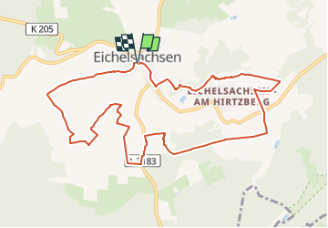
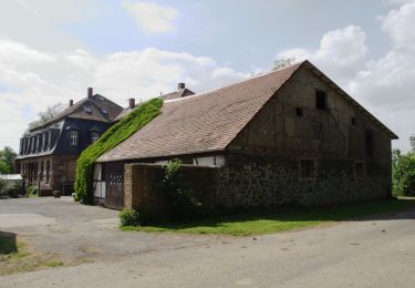
Trail On foot of 10.1 km to be discovered at Hesse, Vogelsbergkreis, Schotten. This trail is proposed by SityTrail - itinéraires balisés pédestres.
Trail created by InitiativGruppe Eichelsachsen.
Eine alternative Verbindung ist noch nicht komplett
Symbol: Schwarze Fuchstatze auf gelbem Hintergrund
Website: http://www.eicheltal.de/ige.html


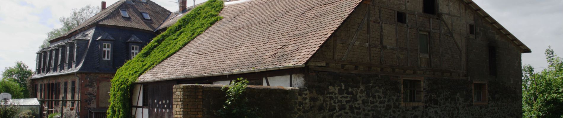
On foot
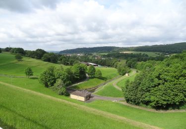
On foot
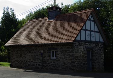
On foot
On foot

On foot
On foot

On foot