


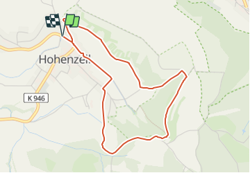

4.1 km | 5.6 km-effort


Tous les sentiers balisés d’Europe GUIDE+


FREE GPS app for hiking
 SityTrail
IGN / Geographical institutes
SityTrail World
The world is yours!
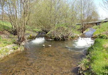
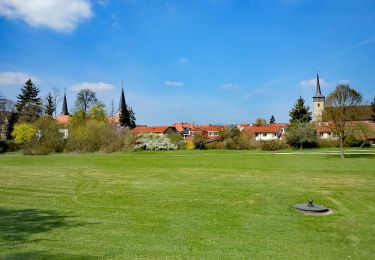
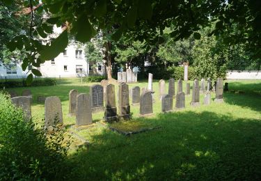
Trail On foot of 4.2 km to be discovered at Hesse, Main-Kinzig-Kreis, Schlüchtern. This trail is proposed by SityTrail - itinéraires balisés pédestres.
Trail created by Wanderverein "Die Spechte" Hohenzell.
Symbol: Weiß HO2 auf blauem Hintergrund
Website: http://www.3-mann-design.de/hohenzell_de/?page_id=138

On foot

On foot
On foot
On foot
On foot
On foot
On foot
On foot
On foot