


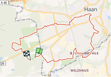

12.4 km | 15.7 km-effort

Tous les sentiers balisés d’Europe GUIDE+


FREE GPS app for hiking
 SityTrail
IGN / Geographical institutes
SityTrail World
The world is yours!
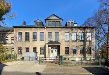
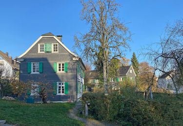
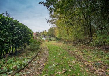
Trail On foot of 10.9 km to be discovered at North Rhine-Westphalia, Kreis Mettmann, Hilden. This trail is proposed by SityTrail - itinéraires balisés pédestres.
Hier finden Sie alle Informationen für abwechslungsreiche Wanderungen auf dem neanderland STEIG, der auf 243 km um den Kreis Mettmann führt.
Website: https://www.neanderlandsteig.de/


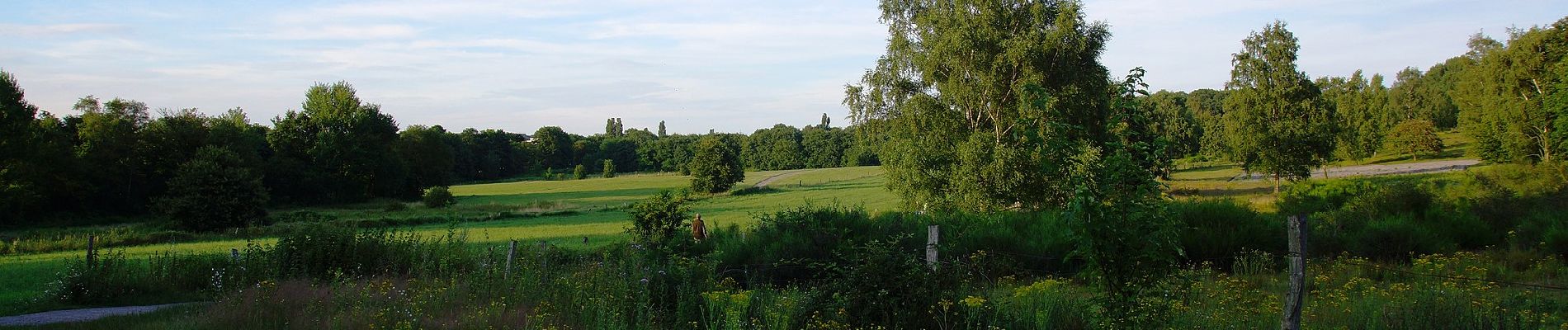
On foot

On foot
On foot

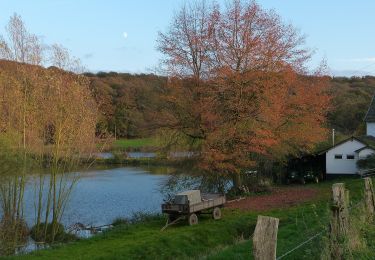
On foot
On foot
On foot

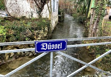
On foot

On foot
On foot