


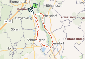

10.3 km | 11.2 km-effort


Tous les sentiers balisés d’Europe GUIDE+


FREE GPS app for hiking
 SityTrail
IGN / Geographical institutes
SityTrail World
The world is yours!
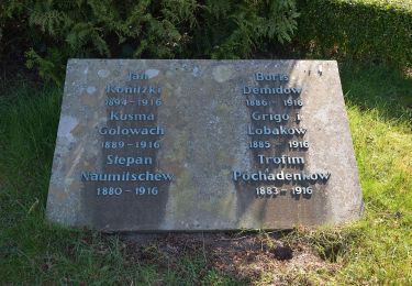
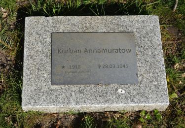
Trail On foot of 9.7 km to be discovered at Schleswig-Holstein, Rendsburg-Eckernförde, Grevenkrug. This trail is proposed by SityTrail - itinéraires balisés pédestres.
Trail created by BSW Wandergruppe Neumünster.


On foot
On foot

On foot
On foot
On foot

On foot
On foot
On foot
On foot