


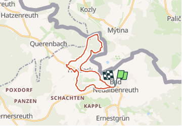

6.3 km | 7.4 km-effort

Tous les sentiers balisés d’Europe GUIDE+


FREE GPS app for hiking
 SityTrail
IGN / Geographical institutes
SityTrail World
The world is yours!
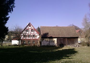
Trail On foot of 11 km to be discovered at Bavaria, Landkreis Tirschenreuth, Neualbenreuth. This trail is proposed by SityTrail - itinéraires balisés pédestres.
Trail created by Oberpfälzer Waldverein.
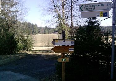
Symbol: Grüner Punkt auf weißem Hintergrund


On foot
On foot
![Trail On foot Lipová - [Ž] Dolní Žandov - Pod Dylení - Photo](https://media.geolcdn.com/t/375/260/3c075749-bc39-4d3d-bb5a-bf9983668a77.jpeg&format=jpg&maxdim=2)
On foot
On foot
On foot
On foot
On foot
On foot
On foot