


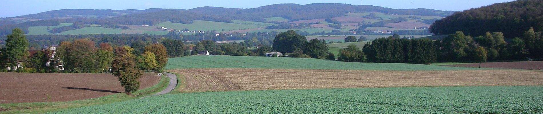
6.7 km | 9.6 km-effort

Tous les sentiers balisés d’Europe GUIDE+


FREE GPS app for hiking
 SityTrail
IGN / Geographical institutes
SityTrail World
The world is yours!
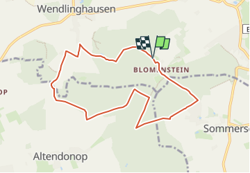
Trail On foot of 7.7 km to be discovered at North Rhine-Westphalia, Kreis Lippe, Dörentrup. This trail is proposed by SityTrail - itinéraires balisés pédestres.
Symbol: Weißer Text A1 auf schwarzem Grund
Website: http://www.wanderregion-nordlippe.de/de/wanderwege/rundwanderwege/um-den-luehberg-bei-wendlinghausen.php

On foot