


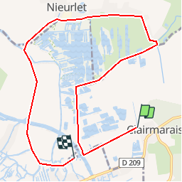

19.6 km | 21 km-effort


User


FREE GPS app for hiking
 SityTrail
IGN / Geographical institutes
SityTrail World
The world is yours!
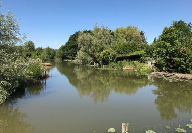
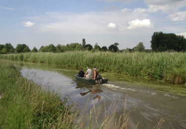
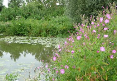
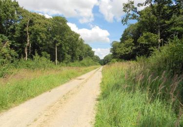
Trail Canoe - kayak of 9.3 km to be discovered at Hauts-de-France, Pas-de-Calais, Clairmarais. This trail is proposed by lepompi.
Grand Tour du Romelaere
Location barque sur place ou
canoé personnel
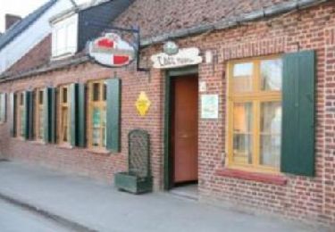
Restauration sur place possible et je vous recommande porcelet grillé !!
Walking
Walking
Walking


sport
On foot
Walking

Walking

Walking

Walking