


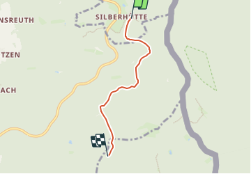

6.3 km | 8 km-effort

Tous les sentiers balisés d’Europe GUIDE+


FREE GPS app for hiking
 SityTrail
IGN / Geographical institutes
SityTrail World
The world is yours!
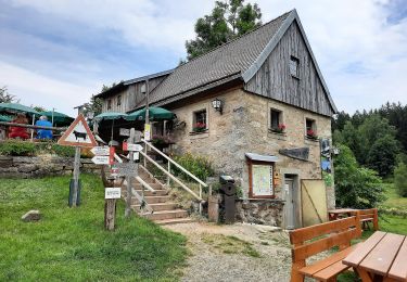
Trail On foot of 3.4 km to be discovered at Bavaria, Landkreis Tirschenreuth, Bärnau. This trail is proposed by SityTrail - itinéraires balisés pédestres.
Symbol: Rote schräg steigende Linie auf weißem, rechteckigen Grund


![Trail On foot Lesná - [Z] naučná stezka historie sklářství - Photo](https://media.geolcdn.com/t/375/260/4bc902d5-239d-46bc-9e59-dc21d99fa2b6.jpeg&format=jpg&maxdim=2)
On foot
On foot
On foot
On foot

On foot
On foot