


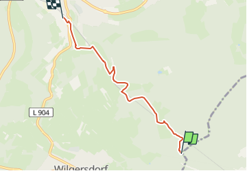

15.9 km | 22 km-effort


Tous les sentiers balisés d’Europe GUIDE+


FREE GPS app for hiking
 SityTrail
IGN / Geographical institutes
SityTrail World
The world is yours!
Trail On foot of 4.3 km to be discovered at North Rhine-Westphalia, Kreis Siegen-Wittgenstein, Wilnsdorf. This trail is proposed by SityTrail - itinéraires balisés pédestres.
Trail created by Rothaarsteigverein.
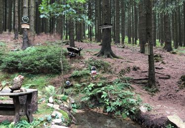
On foot
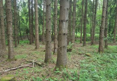
On foot
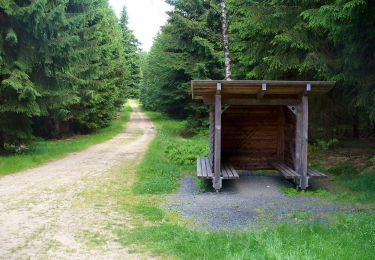
On foot

On foot
On foot
![Trail On foot Netphen - [T] Wilgersdorf - Obernau-Talsperre - Photo](https://media.geolcdn.com/t/375/260/389e4f43-5878-4a39-9b36-4bfe793beb15.jpeg&format=jpg&maxdim=2)
On foot
On foot
On foot