


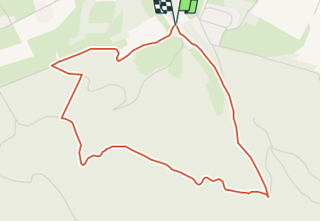

6.8 km | 9.2 km-effort


Tous les sentiers balisés d’Europe GUIDE+


FREE GPS app for hiking
 SityTrail
IGN / Geographical institutes
SityTrail World
The world is yours!
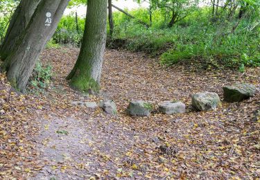
Trail On foot of 4.7 km to be discovered at Lower Saxony, Landkreis Schaumburg, Rinteln. This trail is proposed by SityTrail - itinéraires balisés pédestres.
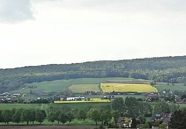
Das natour.NAH.zentrum Schillat- Höhle ist der ideale Ausgangspunkt für Strecken- und Rundwandertouren. Der Weserbergland-Weg und viele mehr führen direkt an diesem vorbei.
Website: http://www.schillathoehle.de/de/wanderwege/#/de/westliches-weserbergland_neu/default/detail/Tour/BC0959F369A5187390D6F188C9836426/ri12-schlingborn-route


On foot

On foot
On foot
On foot
On foot

On foot
On foot
On foot
On foot