


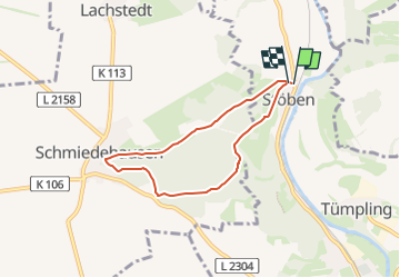

8.4 km | 10.8 km-effort

Tous les sentiers balisés d’Europe GUIDE+


FREE GPS app for hiking
 SityTrail
IGN / Geographical institutes
SityTrail World
The world is yours!
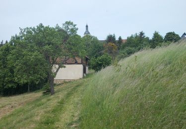
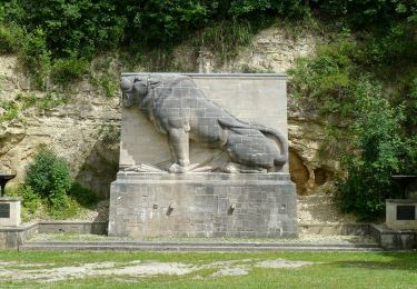
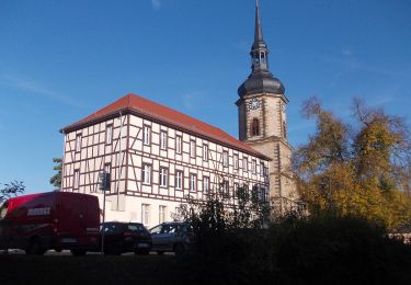
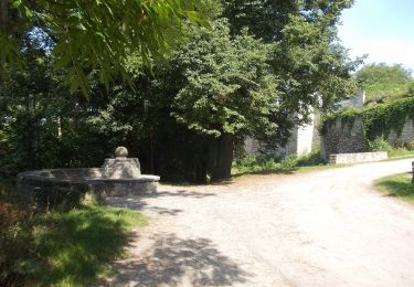
Trail On foot of 5.3 km to be discovered at Thuringia, Saale-Holzland-Kreis, Dornburg-Camburg. This trail is proposed by SityTrail - itinéraires balisés pédestres.
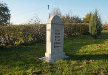
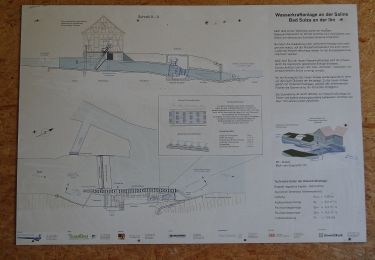
Wegweiser nur nördlich des Bachse


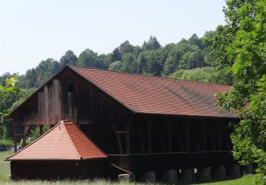
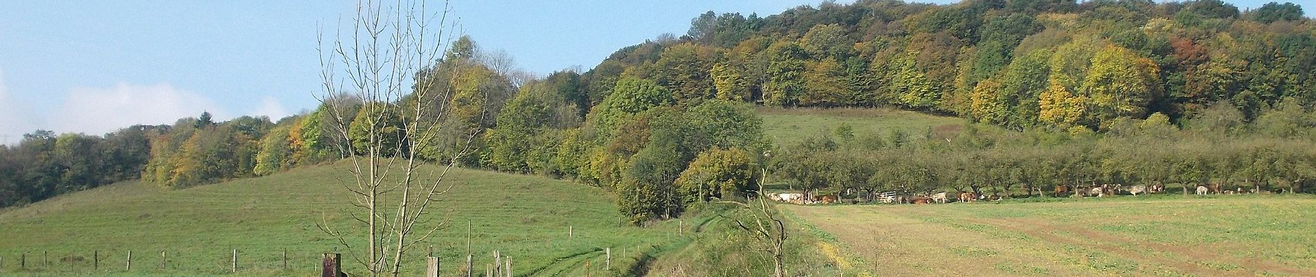
On foot
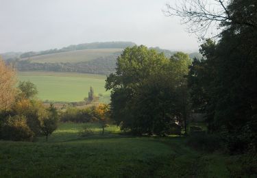
On foot
On foot
On foot
On foot
On foot
On foot
On foot