


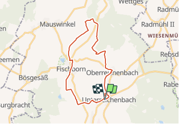

10.3 km | 12.9 km-effort

Tous les sentiers balisés d’Europe PRO


FREE GPS app for hiking
 SityTrail
IGN / Geographical institutes
SityTrail World
The world is yours!
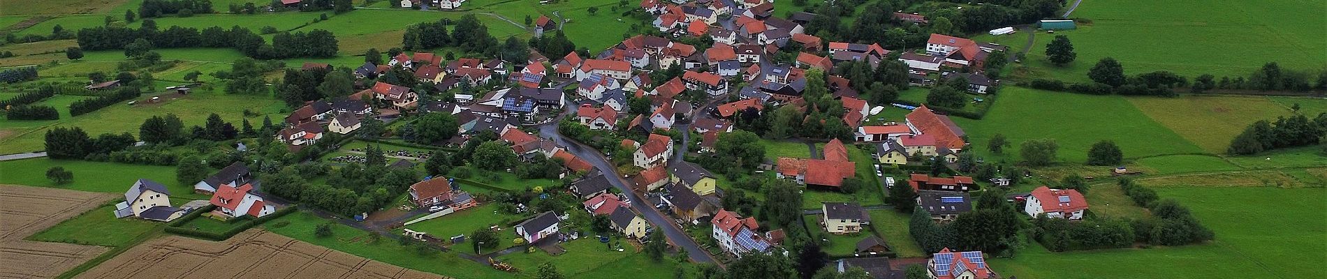
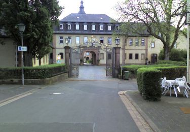
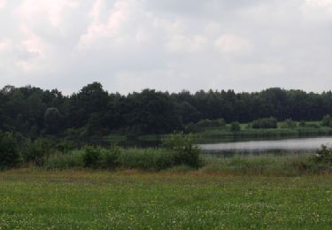
Trail On foot of 13.6 km to be discovered at Hesse, Main-Kinzig-Kreis, Birstein. This trail is proposed by SityTrail - itinéraires balisés pédestres.
Trail created by Gemeinde Birstein.
Symbol: Schwarzer Text R2 umrandet mit schwarzem Kreis, auf weißem Hintergrund


On foot
On foot