


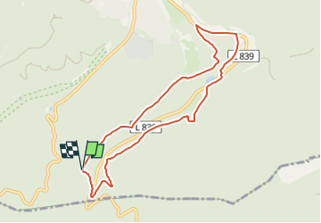

6.8 km | 9.2 km-effort

Tous les sentiers balisés d’Europe PRO


FREE GPS app for hiking
 SityTrail
IGN / Geographical institutes
SityTrail World
The world is yours!
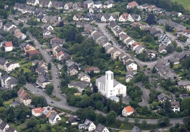
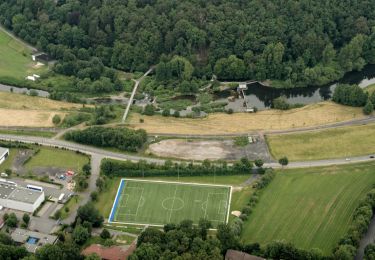
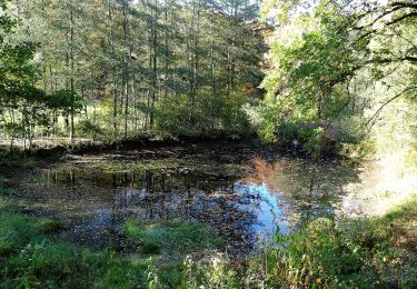
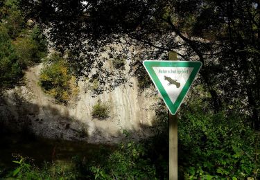
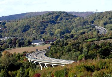
Trail On foot of 7.7 km to be discovered at North Rhine-Westphalia, Hochsauerlandkreis, Arnsberg. This trail is proposed by SityTrail - itinéraires balisés pédestres.
Trail created by Sauerländischer Gebirgsverein (SGV).
Wegführung kann etwas anders verlaufen, ggf. bitte korrigiren


On foot
On foot
On foot
On foot
On foot
On foot

On foot
On foot
On foot