


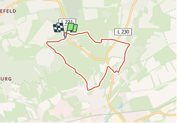

7.4 km | 9.9 km-effort

Tous les sentiers balisés d’Europe GUIDE+


FREE GPS app for hiking
 SityTrail
IGN / Geographical institutes
SityTrail World
The world is yours!
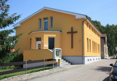
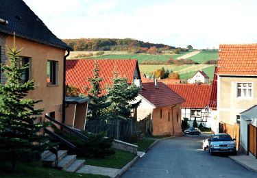
Trail On foot of 6 km to be discovered at Saxony-Anhalt, Mansfeld-Südharz, Sangerhausen. This trail is proposed by SityTrail - itinéraires balisés pédestres.
OSMC-Symbol abstrahiert
Symbol: stilisierte Rose in Pfeil


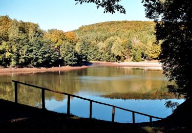
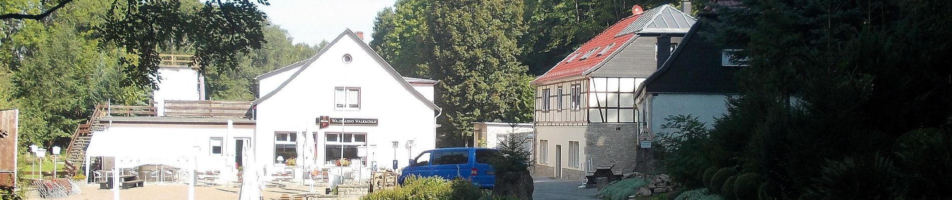
On foot
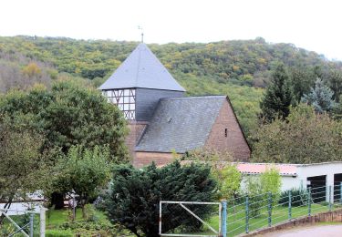
On foot
On foot
On foot
On foot
On foot
On foot

On foot