8.9 km | 23 km-effort
w10_24_diable
My Switzerland
Optez pour le retour à la nature GUIDE+
Length
12.9 km
Max alt
2934 m
Uphill gradient
110 m
Km-Effort
17.3 km
Min alt
2024 m
Downhill gradient
983 m
Boucle
No
Creation date :
2014-12-10 00:00:00.0
Updated on :
2014-12-10 00:00:00.0
3h38
Difficulty : Unknown
FREE GPS app for hiking
About
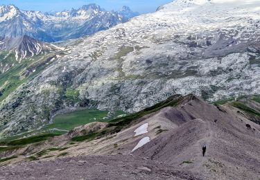
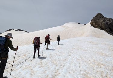
Trail Walking of 12.9 km to be discovered at Vaud, District d'Aigle, Ormont-Dessus. This trail is proposed by My Switzerland.
Points of interest
Positioning
Country:
Switzerland
Region :
Vaud
Department/Province :
District d'Aigle
Municipality :
Ormont-Dessus
Location:
Unknown
Start:(Dec)
Start:(UTM)
361804 ; 5131923 (32T) N.
Comments
Trails nearby
suuntoapp-Hiking-2024-07-13T07-48-27Z
Walking
Difficult
(1)
Ormont-Dessus,
Vaud,
District d'Aigle,
Switzerland
5h 16min
No
suuntoapp-Hiking-2024-07-15T05-56-36Z
Walking
Medium
Savièse,
Valais/Wallis,
Sion,
Switzerland
15 km | 24 km-effort
5h 33min
No
suuntoapp-Hiking-2024-07-14T07-51-15Z
Walking
Medium
Ormont-Dessus,
Vaud,
District d'Aigle,
Switzerland
12.6 km | 24 km-effort
5h 25min
No
Glacier3000 - Sanetsch
Walking
Very easy
Ormont-Dessus,
Vaud,
District d'Aigle,
Switzerland
19.8 km | 43 km-effort
Unknown
No
Bike32917
Mountain bike
Very easy
Ormont-Dessus,
Vaud,
District d'Aigle,
Switzerland
15.6 km | 24 km-effort
Unknown
Yes
st_koreatv08_07
Walking
Very easy
Savièse,
Valais/Wallis,
Sion,
Switzerland
4.5 km | 8.9 km-effort
1h 37min
No
Humani'Trail_2022_27km_-_by_betrail
Running
Ormont-Dessus,
Vaud,
District d'Aigle,
Switzerland
27 km | 47 km-effort
Unknown
Yes
Trajet du 29.10.21
Walking
Very difficult
Conthey,
Valais/Wallis,
Conthey,
Switzerland
19.5 km | 38 km-effort
8h 42min
Yes
Blattipass
Walking
Medium
Ormont-Dessus,
Vaud,
District d'Aigle,
Switzerland
11.5 km | 20 km-effort
3h 58min
No